The MPCA works with city and county governments, watershed districts, consultants, and others on monitoring, protecting, and restoring water quality. This is a repository of guidance and technical resources for agency partners.
The power of partnerships
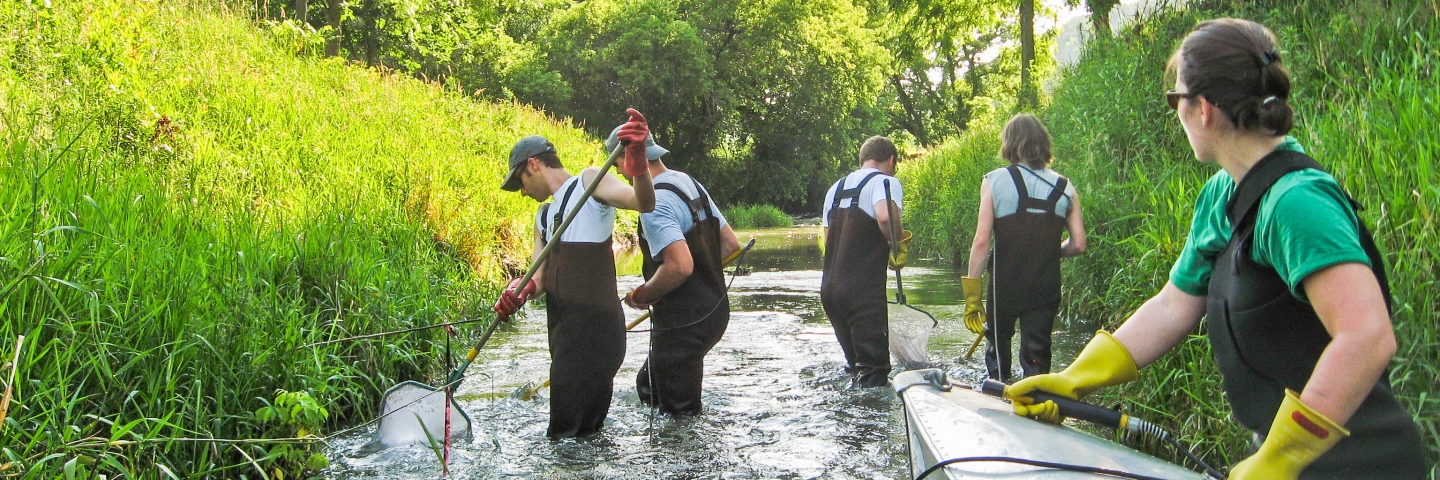
Working with local, regional, and international partners, and funded by the Legacy Amendment, the MPCA has completed the first cycle of the watershed approach. Watershed restoration and protection strategy (WRAPS) and total maximum daily load (TMDL) reports have been completed for all 80 major watersheds in the state.
Local water quality planning entities such as watershed districts and soil and water conservation districts use information from MPCA reports to inform decisions during development of their One Watershed, One Plan, following the Minnesota Board of Water & Soil Resources process. These plans prioritize projects that can be implemented on the ground with local landowners.
“Water quality improvements are a result of successful partnerships, planning, and implementation at many levels — local, state and federal,” says MPCA Commissioner Katrina Kessler. “On-the-ground implementation is key to water quality improvements, which is due to efforts by local governments and landowners.”
Along with WRAPS and TMDL reports, the MPCA has available a wide variety of water quality planning resources that can be used by partners at all levels.
Surface water data
Find data about lake and stream monitoring, condition assessments, impaired waters, restoration/protection projects, permits.
Your dollars at work
Funding for this initiative comes from the Clean Water Fund, part of the Clean Water, Land and Legacy Amendment that Minnesotans approved in 2008. The MPCA uses Clean Water Fund dollars to protect, enhance, and restore water quality in lakes, rivers, streams, and groundwater.