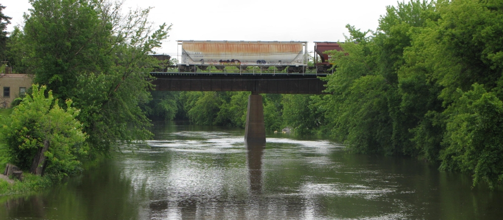
The North Fork Crow River watershed covers 949,107 acres. The headwaters for the North Fork Crow River are located in Pope County at the outlet of Grove Lake. The river flows about 120 miles southeast from Grove Lake to the confluence with the South Fork Crow River in Rockford and on to the confluence with the Mississippi River near Dayton. The Middle Fork Crow River which joins the North Fork near Manannah is a major tributary to the North Fork Crow River. Parts of Pope, Kandiyohi, Stearns, Meeker and Wright counties are in this watershed. Major cities are Litchfield, St. Michael, Buffalo, Otsego, Dayton and Rockford.
Land use in the North Fork Crow River watershed is mostly agricultural with the exception of the eastern portion that is metro fringe urban and commercial.
Many of lakes and reaches of the North Fork Crow River do not meet water quality standards for beneficial uses such as aquatic recreation, drinking, and swimming. The main lake pollutant is phosphorus, causing algae blooms in summer months, and reaches of the North Fork Crow River are listed for biological, bacteria, dissolved oxygen, and turbidity impairments.
Monitoring and assessment
Strategy development for restoration and protection
- (EPA approval 5/15/2023)
- (MPCA approval 3/20/2023)
- (MPCA approved 1/5/2015)
TMDL projects in the watershed
- (EPA approval 4/8/2015)
- (EPA approval 9/26/2016)
- (EPA approved 9/21/2011)
- (MPCA approved 10/11/2011)
- (EPA approved 5/7/2012)
- (MPCA approved 6/4/2012)
- (EPA approved 5/22/2012)
- (MPCA approved 6/19/2012)
- (MPCA approval 12/16/2016)
- (EPA approval 6/26/2017)
- (EPA approval 9/29/2017)
- (MPCA approval 7/26/2017)
