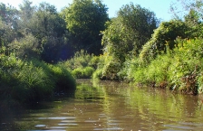
Cannon River
The Cannon River Watershed is located south of the Twin Cities and encompasses areas of Dakota, Goodhue, Le Sueur, Steele, Rice and Waseca counties.
The Cannon River Watershed is located south of the Twin Cities and encompasses areas of Dakota, Goodhue, Le Sueur, Steele, Rice and Waseca counties.
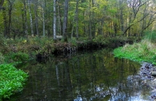
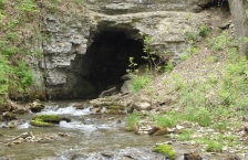
The Mississippi River - La Crescent Watershed drains 95 square miles in Houston and southeast Winona counties, an area defined by wooded bluffs and spring-fed cold-water streams that flow directly to the Mississippi River.
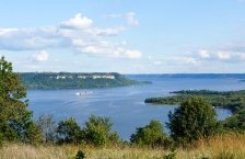
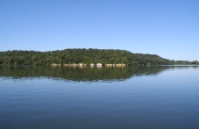
The Mississippi River - Lake Pepin Watershed includes 205,747 acres that drain several small, coldwater streams in bedrock-dominated bluff country.
This watershed is located in the southeastern tip of Minnesota, known for its scenic bluffs. More than 900,000 acres drain to the Mississippi River at Reno, Minn., but only 117,000 of those acres are in Minnesota.
The Mississippi River - Winona Watershed covers 419,200 acres in the southeast Minnesota counties of Wabasha, Winona, and Olmsted. A majority of the watershed is cropland, with forest and grassland covering large portions as well.
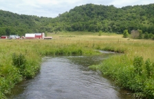
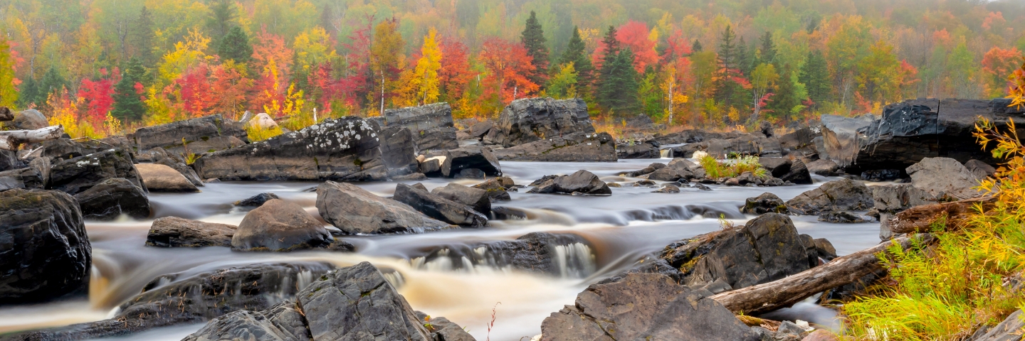
The Root River starts as a drainage ditch in Mower County, then winds 81 miles from intensely farmed areas through more wooded, rolling terrain, and finally empties into the Mississippi River south of La Crosse, Wisconsin.
The Upper Iowa River is a 156-mile-long tributary of the Mississippi River that rises in Mower County in southeastern Minnesota near the Iowa border. It then flows south through three Iowa counties before flowing into the Mississippi. It drains nearly 641,000 acres (1,005 square miles).
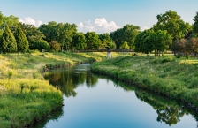
The Zumbro River Watershed covers more than 900,000 acres and reaches parts of six counties in southeast Minnesota (Olmsted, Dodge, Steele, Rice, Goodhue, and Wabasha). Rochester, one of Minnesota's largest cities, is located in the southeast quadrant of the watershed.