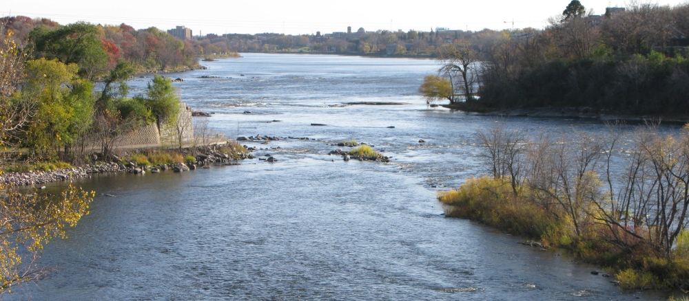
The Mississippi River - St. Cloud Watershed covers 691,200 acres (1,080 square miles) in the south-central part of the Upper Mississippi River Basin. The watershed includes all or parts of the counties of Benton, Meeker, Mille Lacs, Morrison, Sherburne, Stearns, and Wright. Communities located in the watershed include Sauk Rapids, Elk River, Big Lake, Monticello, and parts of St. Cloud. This watershed has 907 total river miles and has 374 lakes with a total acreage of covering 23,728 acres.
Within this watershed, the Mississippi River serves a multitude of uses. St. Cloud is the first city along the Mississippi River to obtain its drinking water from this resource. The river is also used by two of Minnesota’s most important power plants (Becker and Monticello) as a non-contact cooling water source.
This stretch of the Mississippi River has been designated as a wild and scenic river. The rolling forested bluffs, numerous accesses and rest areas, along with abundant wildlife make this segment of the Mississippi River a popular route for day-long canoe trips. This portion of the river also provides excellent recreational fishing opportunities and is recognized for its high-quality smallmouth bass fishing.
This watershed is on the fringe of the Twin City metropolitan area. In the recent past, during the height of the economy, significant residential development occurred within the watershed. In general, the water resources within this watershed tend to have intensively developed shorelines. Working to restore and protect the surface waters within this watershed through the implementation of best management practices is critical to the overall environmental and economic health of the area.
The major threats to the watershed include:
- loss of shoreline buffers and habitat due to development
- introduction of large amounts of phosphorus, sediment, and bacteria to surface waters
- the combination of long, moderately steep slopes and easily erodible sandy loam soil that is inherently high in phosphorus
- increased nutrient, contaminant, and sedimentation loading from stormwater runoff from development and other non-point sources
- protecting drinking water supplies from bacteria impairments
- loss of biodiversity due to competition from invasive species
- relatively high percentage of agricultural and urban/residential land uses within the watershed
Monitoring and assessment
Strategy development for restoration and protection
- (EPA approval 8/27/2024)
- (MPCA approval 6/20/2024)
- (EPA approval 8/14/2024)
- (MPCA approval 3/5/2015)
- (EPA approval 5/14/2015)
Additional TMDL projects
Excess nutrients in six lakes and bacteria in Clearwater River from CD #44 to Lake Betsy
- (EPA approval 1/26/2010)
Excess nutrients in Albion, Augusta, Caroline, Henshaw and Swartout lakes
- (EPA approval 9/28/2010)
Dissolved oxygen in Clearwater River from CD #44 to Lake Betsy
- (EPA approval 11/8/2010)
- (MPCA approval 5/19/2010)
Elk River Watershed TMDL
- (EPA approval 6/14/2012)
- (MPCA approval 7/10/2012)
