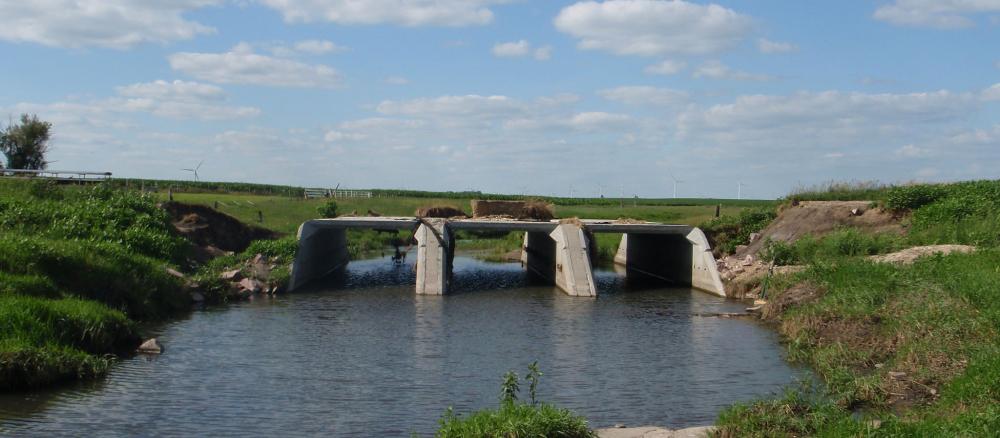
The Lower Big Sioux River watershed covers 2,188,399 acres, mostly located in eastern South Dakota. A small portion lies in western parts of Lincoln, Pipestone, and Rock counties in southwestern Minnesota. There are several small to medium-sized tributaries. Land use in this watershed is primarily agriculture, with most land in row crops, although pasture and animal agriculture is also prevalent. There are no natural lakes in this watershed.
What's being done
Monitoring and assessment
Missouri River Basin Watersheds monitoring and assessment summary (wq-ws3-10170204c)
Missouri River Basin (Upper Big Sioux, Lower Big Sioux, Little Sioux, and Rock River Watersheds) monitoring and assessment report (wq-ws3-10170204b)
Lower Big Sioux River Watershed biotic stressor identification report (wq-ws5-10170203a)
Missouri River Basin watersheds stressor identification report: Summary (wq-ws5-10170202c)
Missouri River Basin hydrology, connectivity, and geomorphology assessment (wq-b7-01)
Strategies for restoration and protection
Missouri River Basin Watersheds WRAPS: Summary (wq-ws4-40b)
Missouri River Basin WRAPS Report (wq-ws4-40a) (MPCA approval 1/18/2018)
Missouri River Basin TMDL Report (wq-iw7-44e) (EPA approval 2/15/2018)
Appendices for Missouri River Basin TMDL report (wq-iw7-44h)
Missouri River Basin TMDL: EPA approval letter (wq-iw7-44g)
Pipestone Creek fecal coliform and turbidity TMDL: Fact sheet (wq-iw7-07a)
Pipestone Creek fecal coliform and turbidity TMDL report (wq-iw7-07e) (EPA approval 7/3/2008)
Pipestone Creek fecal coliform and turbidity TMDL: EPA approval letter (wq-iw7-07g)
Pipestone Creek fecal coliform and turbidity TMDL implementation plan (wq-iw7-07c)
Water quality model supporting documents
More information
Contact
- Watershed project manager Paul Wymar, 507-476-4282