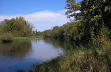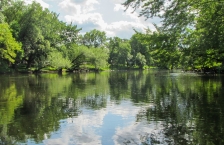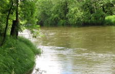
Crow Wing River
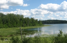
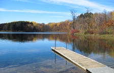
The Crow Wing River Watershed is located in north-central Minnesota and covers approximately 1,946 square miles within the counties of Becker, Cass, Clearwater, Crow Wing, Hubbard, Morrison, Otter Tail, Todd, and Wadena.

The Crow Wing River Watershed is located in north-central Minnesota and covers approximately 1,946 square miles within the counties of Becker, Cass, Clearwater, Crow Wing, Hubbard, Morrison, Otter Tail, Todd, and Wadena.
The Leech Lake River watershed consists of approximately 854,659 acres (1,335 sq. miles) in the northern part of the Upper Mississippi River Basin. The watershed includes parts of Beltrami, Cass, and Hubbard counties and the Leech Lake Reservation (Leech Lake Band of Chippewa).
The Long Prairie River watershed covers approximately 565,078 acres and is located in the central part of the Upper Mississippi River Basin in central Minnesota. The watershed encompasses parts of Douglas, Otter Tail, Todd, Morrison and Wadena counties.
The Mississippi River - Brainerd watershed covers 1,079,950 acres in the north-central part of the Upper Mississippi River Basin in central Minnesota. The watershed encompasses all or parts of Aitkin, Cass, Crow Wing, Morrison, and Todd counties.
The Mississippi River - Grand Rapids watershed covers 1,316,071 acres and contains 1,908 miles of stream/rivers and 552 lakes greater than 10 acres. The watershed drainage comprises parts of the counties of Aitkin, Carlton, Cass, Itasca, and St. Louis.
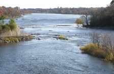
The Mississippi River - Headwaters watershed consists of 1,255,105 acres (1,961 square miles) and contains the headwaters of the Mississippi River at Lake Itasca in Itasca State Park. The watershed includes parts of Becker, Beltrami, Cass, Clearwater, Hubbard and Itasca counties.
The Mississippi River - Sartell watershed covers approximately 652,800 acres (1,020 sq. miles) in the central part of the Upper Mississippi River Basin. The watershed includes parts of Benton, Crow Wing, Mille Lacs, Morrison, Stearns, and Todd counties.
The Mississippi River - St. Cloud watershed covers 691,200 acres (1,080 square miles) in the south-central part of the Upper Mississippi River Basin. The watershed includes all or parts of the counties of Benton, Meeker, Mille Lacs, Morrison, Sherburne, Stearns, and Wright.
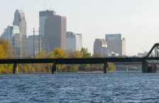
The Mississippi River - Twin Cities watershed is 656,990 acres and lies almost entirely in the North Central Hardwoods Forest ecoregion in the Mississippi River Basin. The watershed contains 1,320 stream miles and 380 lakes. More than 1.8 million people live in this watershed.
The North Fork Crow River Watershed covers 949,107 acres.
The Pine River watershed is approximately 502,400 acres in size. The watershed drainage for the Pine River contains parts of Aitkin, Cass, Crow Wing and Hubbard counties. Pine River and Crosslake are the major cities in the watershed.
The Redeye River watershed covers 575,366 acres (899 square miles) and is located the northwestern to north-central part of the Upper Mississippi River Basin in central Minnesota. The watershed encompasses all or parts of Becker, Otter Tail, Todd, and Wadena counties.
The Rum River watershed covers 997,060 acres in east-central Minnesota, covering parts of Aitkin, Crow Wing, Morrison, Mille Lacs, Kanabec, Benton, Isanti, Chisago, Sherburne, and Anoka counties.
The Sauk River watershed covers 667,200 acres (1,043 square miles) and extends from the Mississippi River near St. Cloud to within 3 miles of Alexandria.
The South Fork Crow River watershed covers 818,428 acres. It is located in south-central Minnesota and encompasses parts of Kandiyohi, Renville, Meeker, McLeod, Sibley, Wright, Carver, and Hennepin counties.