The Duluth Urban Area Watershed is a focused geographic area designed to recognize the complexity and challenges in an urban center with a water-rich environment. It is defined by a series of small watersheds that are portions of three major watersheds: the Cloquet River, St. Louis River, and Lake Superior South. This distinctive region is densely populated, has a variety of social characteristics, a dramatic physical setting, and is a local and regional economic center.
What’s being done
The MPCA works with a wide range of partners to improve the urban watershed’s overall health and condition. The Duluth Urban Watershed Advisory Committee, staffed by Minnesota Sea Grant and the University of Minnesota Natural Resources Research Institute (NRRI), is focused on creating a regional approach to urban watershed management that recognizes its inherent shared nature.
The MPCA contracted with the University of Minnesota, the US Geological Survey and the South St. Louis County Soil and Water Conservation District to collect physical, chemical and biological data on streams. The MPCA also worked with the NRRI, the SWCD, and the Minnesota Department of Natural Resources to monitor streamflow and measures of metro water quality. For more information about individual streams, visit the Lake Superior Streams website.
One particularly noteworthy effort running parallel to the agency’s watershed approach is the ongoing work to restore the St. Louis River and its nearly 12,000-acre estuary. This collaborative model, started in response to the area’s designation as an Area of Concern in 1987, is addressing the estuary’s nine impaired beneficial uses.
Characteristics
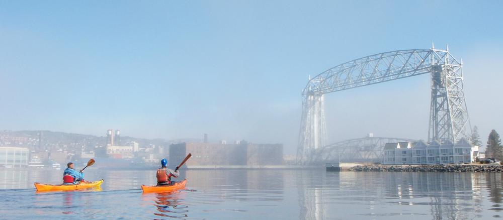
This 141-square-mile area is located within the Duluth metropolitan area; it stretches from Mission Creek in West Duluth along the St. Louis River to the Lester River which drains into Lake Superior at 61st Avenue East. The northern border is the Lester River watershed.
It includes 43 named streams fed by ditches, rivulets and the underground storm water system. Sixteen of these are state-designated trout streams. These cool-water streams support native and stocked brook. Larger streams like the Lester River provide suitable habitat and flow conditions for brown trout, rainbow trout and salmon.
Duluth area streams flow through wetland or boggy headwaters areas, at times dropping 600+ feet down bedrock, and often carry sediment, rock, woody debris along the path downhill. Other drainage paths are characterized by unstable clay banks, ravines that lead to extensive slumping and bank failure. This was dramatically demonstrated during the regional flood (June 19-20, 2012).
The watershed’s land use varies considerably from urbanization (40% of the land cover that includes drainage alterations such as ditches, streets and underground pipes) to 60% forested or undeveloped tracts.
Eleven streams have water quality impairments for aquatic recreation and/or aquatic life.
Continued development pressures and aging wastewater and stormwater infrastructure increase the potential for pollution problems in area streams. However, this area is also regulated through municipal stormwater permits which contain specific requirements for this area’s stormwater discharges.
Strategy development for restoration and protection
Public comments requested
We invite you to read and comment on this draft report. The comment period runs Feb. 17 through March 19, 2026.
Duluth Urban Area streams TMDL
- (EPA approval 11/18/2020)
- (MPCA approval 10/13/2020)
Duluth Urban Area beaches TMDL
- (EPA approval 6/29/2022)