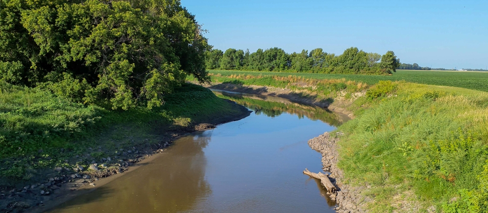
The Bois de Sioux River Watershed covers 718,685 acres, and includes the drainage basins of Lake Traverse and the Bois de Sioux River. The watershed includes three different ecoregions: the Red River Valley ecoregion, the Northern Glaciated Plains ecoregion, and the North Central Hardwood Forests ecoregion. The Bois de Sioux and Ottertail Rivers converge to form the headwaters of the Red River of the North.
Land use within the watershed is largely agricultural, accounting for nearly 83% of the overall watershed acres. Development pressure is moderate in most areas, with occasional farms being parceled out for development, recreation or country homes. Precipitation in the watershed ranges from 21 to 23 inches annually. Above-normal amounts of precipitation in the late fall of the year or from May to October periodically produce snow-melt and summer floods.
Monitoring and assessment
Strategy development for restoration and protection
- (MPCA approval 4/8/2020)
- (EPA approval 5/8/2020)
- (EPA approval 6/14/2011)