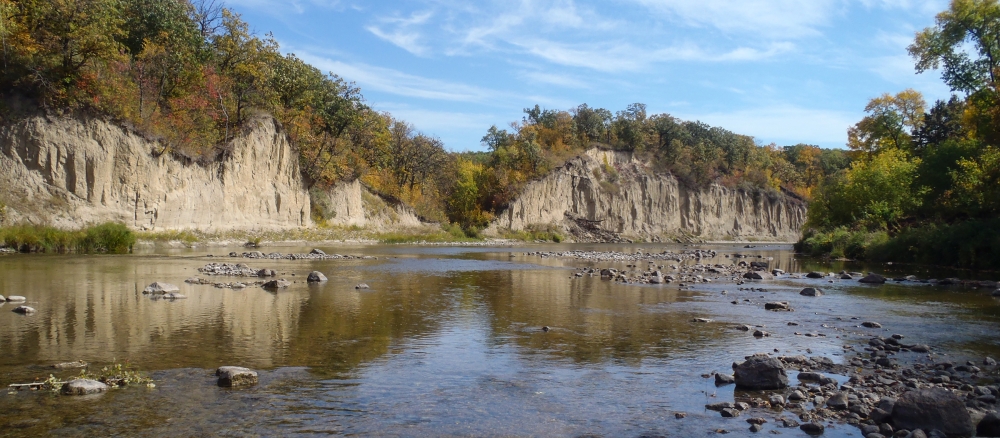
The greater Red Lake River Watershed characteristically has a poorly defined floodplain and low gradient that combine with extensive drainage, widespread conversion of tallgrass prairie to farmland, and urban/suburban development to leave the area subject to frequent floods that affect urban and rural infrastructure and agricultural production.
The main resource concerns in the watershed are wind and water erosion, nutrient management, wetland management, surface water quality, flood damage reduction, and wildlife habitat. Many of the resource concerns relate directly to flooding and increased sediment and pollutant loadings to surface waters. Above-normal amounts of precipitation in the late fall of the year or from May to October lead to high levels of soil moisture, periodically producing the snow-melt and summer floods that are known to affect the further reaches of the overall Red River Basin.
Predominant land uses: row crops (61%), wetlands (17%), forest (10%), grass/pasture/hay (6%), and residential/commercial development (5%). Development pressure is moderate in most areas, with occasional farms, timberland, and shorefront being parceled out for recreation, lake, or country homes.
Monitoring and assessment
Strategy development for restoration and protection
- (MPCA approval 11/20/2019)
- (EPA approval 12/23/2019)