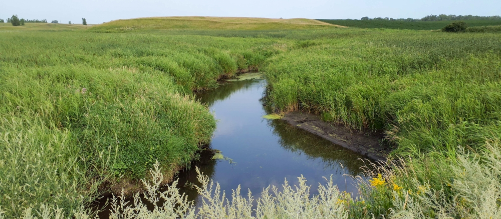
The Mustinka River begins its course southwest of Fergus Falls in southwestern Otter Tail County and flows toward the south into Grant County, where it continues through Stony Brook Lake and Lightning Lake. In southern Grant County the river turns to the west, flows past Norcross into Traverse County, then turns southwest past Wheaton, flowing to the northern end of Lake Traverse. Over time the Mustinka River has been extensively channelized, straightened and dammed.
The Mustinka River watershed drains an area of 562,112 acres in the Glacial Lake Agassiz Plain, North Central Hardwoods, Northern Lakes and Forests, and Northern glaciated plains Level II ecoregions. The Mustinka River begins its course southwest of Fergus Falls in southwestern Otter Tail County and flows toward the south into Grant County, where it continues through Stony Brook Lake and Lightning Lake. In southern Grant County the river turns to the west, flows past Norcross into Traverse County, then turns southwest past Wheaton, flowing to the northern end of Lake Traverse. Over time the Mustinka River has been extensively channelized, straightened and dammed.
Predominate land uses/land covers are row crops (84%), residential/commercial development (5%), wetlands (4.5%), open water (3.4%), and grass/pasture/hay (2%). Agricultural land use in the watershed accounts for approximately 86% of the overall watershed acres. Development pressure is moderate in most areas, with occasional farms, timberland, and lakeshore being parceled out for recreation or lake/country homes.
The main resource concerns in the watershed are wind/water soil erosion, wetland management, surface water quality, flood damage reduction, and wildlife habitat. Many of the resource concerns relate directly to agricultural activities in the region that have resulted in fragmentation and increased sediment and pollutant loadings to surface waters. The watershed experiences periodic seasonal flooding due to above-normal amounts of precipitation or snow melt.
Monitoring and assessment
Strategy development for restoration and protection
- (MPCA approval 9/26/2016)
- (EPA approval 3/15/2017)
Mustinka River turbidity TMDL
- (EPA approval 6/8/2010)
- (MPCA approval 11/30/2010)