The Big Fork River Watershed covers 1,326,947 acres that include some of the state’s most pristine wilderness. The river flows north 165 miles from Dora Lake (45 miles northeast of Bemidji in north-central Itasca County) to the Rainy River, which forms the Minnesota-Canada border. This confluence is 16 miles west-southwest of International Falls. The state owns or manages nearly 60% of the land in the watershed.
The watershed contains more than 100 tributary streams and 98 lakes bigger than 100 acres. These waters are an important resource for recreational activities such as fishing, swimming, boating, and hunting. Some of these waters are within the Leech Lake and Bois Forte reservations.
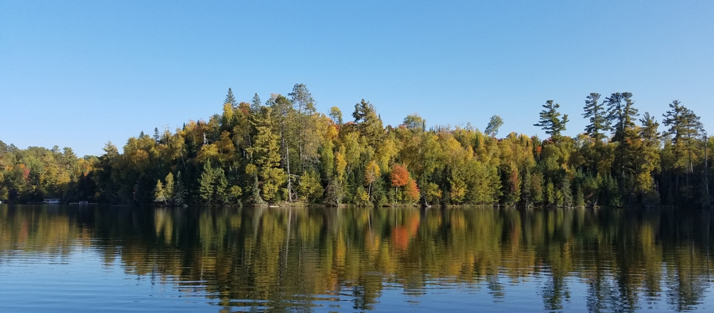
Healthy fish and macroinvertebrate (aquatic insect) communities are found throughout the watershed. Most lakes and streams meet water quality standards designed to protect aquatic life. Fish species found there include lake sturgeon, muskellunge, smallmouth bass, burbot, and river darters — all species that are intolerant to pollution.
Large stretches of the Big Fork River, the headwaters of the Rice River, and eight lakes have been identified as exceptional resources because they support such high-quality aquatic communities. The “exceptional” designation places a waterbody at the highest of four levels on the tiered aquatic life uses (TALU) framework. Exceptional waters contain biological assemblages that are similar to what may have been present in pre-settlement times. These types of systems have watersheds that are often forested and have little human disturbance.
Large tracts of forested land, combined with numerous wetlands and little development, have helped maintain high-quality aquatic resources. Overall, sediment and nutrient levels throughout the watershed are low, though excess phosphorus is still an issue in lakes with previous known impairments. High levels of turbidity and total suspended solids have been found on some sections of the Big Fork River, but healthy fish and macroinvertebrates are still found in these reaches.
Development pressure is moderate in most areas, with occasional farms being parceled out for development, recreation, or country homes.
Monitoring and assessment
Strategy development for restoration and protection
- (EPA approval 12/20/2017)
- (MPCA approval 9/8/2017)
- MPCA approval 7/29/2025
- (EPA approval 5/4/2011)