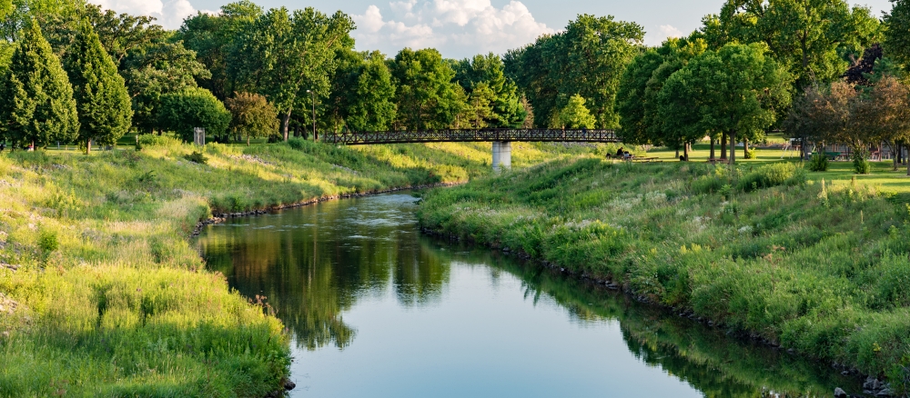
The Zumbro River Watershed covers more than 900,000 acres and reaches parts of six counties in southeast Minnesota (Olmsted, Dodge, Steele, Rice, Goodhue, and Wabasha). Rochester, one of Minnesota's largest cities, is located in the southeast quadrant of the watershed.
The Zumbro River Watershed is known for its diversity of landscape, ranging from deep and fertile glacial tills to sandy soils on steep bluffs. Much of it is underlain by karst, with exposed bedrock and complex groundwater systems predominant in the eastern half of the region. Landforms common to this area are steep bluffs overlooking deep river valleys, sinkholes, caverns, and cold-water spring-fed streams.
To the west, the land is characterized by lake and outwash plains, end and ground moraines, and drumlin fields, all remnant landscapes of past glacial activities and the melt water drainage associated with it.
Land use is mostly agricultural, with row crops dominating, particularly in the western half of the watershed. The small stream tributaries in the far east (bottom of the watershed) are mostly cold, groundwater streams that support trout populations.
Initial intensive monitoring and reviews of the watershed were conducted from 2012-2018 and several reports were published. Data from a second cycle of monitoring in 2023-2024 are being reviewed and analyzed by staff and local partners. Several reports will be published between 2025 and 2027.
Monitoring and assessment
Strategy development for restoration and protection
- (MPCA approval 11/8/2017)
- (EPA approval 2/22/2018)
Zumbro River Watershed turbidity TMDL project
- (EPA approval 5/25/2012)
Water quality model supporting documents
More information
Rice, Goodhue, Wabasha, Dodge, and Olmsted counties and their soil and water conservation districts along with the Bear Valley Watershed District and the City of Rochester are developing the Greater Zumbro One Watershed One Plan. Learn more: