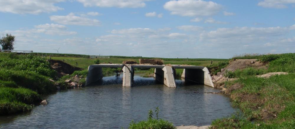
The Lower Big Sioux River watershed covers 2,188,399 acres, mostly located in eastern South Dakota. A small portion lies in western parts of Lincoln, Pipestone, and Rock counties in southwestern Minnesota. There are several small to medium-sized tributaries. Land use in this watershed is primarily agriculture, with most land in row crops, although pasture and animal agriculture is also prevalent. There are no natural lakes in this watershed.
Monitoring and assessment
Strategy development for restoration and protection
- (MPCA approval 1/18/2018)
- (EPA approval 2/15/2018)
- (EPA approval 7/3/2008)
- (MPCA approval 9/2008)
