The Redeye River Watershed covers 575,366 acres (899 square miles) and lies on the west-central edge of the Upper Mississippi River Basin in central Minnesota. It encompasses parts of Becker, Otter Tail, Todd, and Wadena counties, and includes the town of Wadena. The Redeye River begins at Wolf Lake, flows south to join the Leaf River, and eventually meets the Crow Wing River north of Staples.
The watershed contains about 633 total miles of river, of which 316 miles are considered perennial. Major rivers within the watershed include the Redeye, Leaf, and Wing. There are also 11 creeks, 7 county ditches, and numerous smaller flowages. The watershed contains approximately 126 lakes covering 8,228 acres. The area is home to 73 lakes larger than 10 acres, including notable ones such as Wolf Lake, Gourd Lake, and the West, Middle, and East Leaf Lake chain. Together, these lakes cover approximately 8,228 acres and provide valuable recreational and ecological benefits.
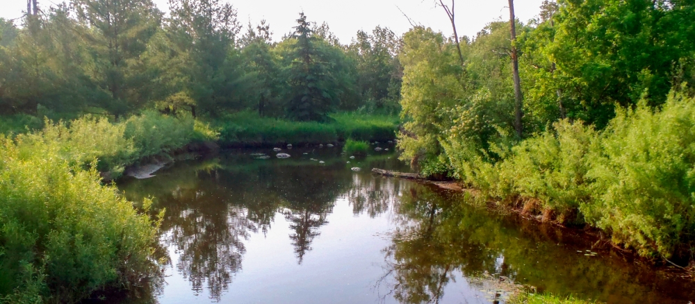
The watershed is located primarily within the North Central Hardwood Forest ecoregion, with a smaller portion extending into the Northern Lakes and Forests ecoregion. As of 2021, land cover in the watershed is approximately 49% agriculture (crop and rangeland), 30% forest, 15% wetlands, 4% developed, and 2% open water.
The watershed supports a diverse range of uses and values. It provides important aquatic habitats, riparian corridors for wildlife, and recreational opportunities such as fishing, swimming, and canoeing.
Monitoring and assessment
Strategy development for restoration and protection
The WRAPS report contains strategies to address the impaired reaches and to protect the unimpaired waterbodies throughout the watershed. A TMDL study was approved in 2017, which addresses the bacteria impairments for eight of the streams identified during the monitoring process.
- (MPCA approved 12/23/2025)
- (MPCA approved 10/26/2016)
- (EPA approval 3/14/2017)