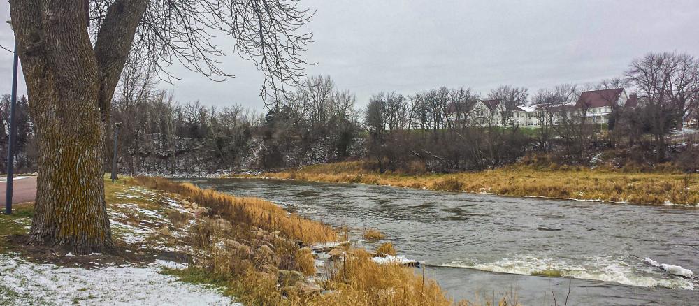
The Des Moines River - Headwaters watershed is located in southwestern Minnesota. It covers approximately 1,334 square miles including parts of Lyon, Pipestone, Murray, Cottonwood, Nobles, Jackson, and Martin counties. It has five subwatersheds: Lake Shetek, Beaver Creek, Heron Lake, Lime Creek, and the West Fork Des Moines River Main Stem. The river joins the East Fork Des Moines River in Iowa, and eventually enters the Mississippi River at Keokuk, Iowa.
The river is used for recreational activities such as fishing, tubing, snowmobiling, and canoeing. It is also a valuable fisheries resource, with northern pike, buffalo, carp, walleye, channel catfish, crappie, and bullhead prevalent throughout the watershed. Land use is primarily agricultural.
Monitoring and assessment
Strategy development for restoration and protection
- (EPA approval 6/14/2021)
- (EPA approval 4/1/2021)
- (MPCA approval 2/25/2021)
West Fork Des Moines River multiple impairments TMDL
- (EPA approval 12/18/2008)
- (MPCA approval 9/22/2009)
