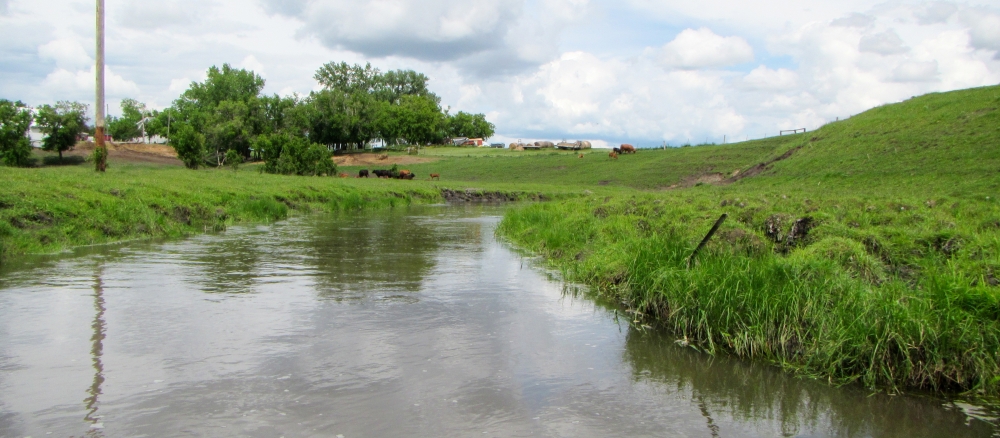
The Buffalo River Watershed covers more than 1,100 square miles in portions of Becker, Clay, Otter Tail, and Wilkin counties, with a small portion of its headwaters in the White Earth Reservation. The watershed transitions from hardwood forests at its headwaters, with many wetlands and lakes, to a prairie landscape with very few wetlands and lakes, which has been largely converted to farmland. The watershed is largely agricultural (row crops and pasture), accounting for more than 70% of the overall watershed acres. Much of the watershed is prone to flooding due to a high percentage of agriculture land, flat topography, and poorly drained soils. As a result, much of the landscape has been altered to increase drainage and improve agricultural production.
Development pressure is moderate to considerable in some areas. The largest population centers are located along the US Highway 10 corridor or the Interstate 94 corridor, including Glyndon, Hawley, Lake Park, Audubon, and Barnesville. Resource concerns relating to urban development include runoff from urban stormwater and flood damage to urban infrastructure.
Main water quality concerns in the watershed include excess nutrients, bacteria, and sediment levels in rivers, streams, and lakes. Intensive monitoring shows that E. coli, phosphorus, and sediment, which causes murky water, are the most prevalent factors for rivers and streams. Shallow lakes in the watershed have issues with water clarity, chlorophyll, and nutrients leading to eutrophication.
Important resource concerns within the watershed include restoration and improvement of wetlands and stream channels, surface water quality, flood damage reduction, wildlife habitat, and soil erosion from wind and water.
Monitoring and assessment
Strategy development for restoration and protection
- (MPCA approval 8/9/2016)
- (EPA approval 2/16/2017)
More information
- Clay County Soil and Water Conservation District
- Wilkin Soil and Water Conservation District
- West Otter Tail Soil and Water Conservation District
- Becker Soil and Water Conservation District
- Buffalo-Red River Watershed District
- Buffalo-Red River Comprehensive Watershed Management Plan
- White Earth Nation Division of Natural Resources
