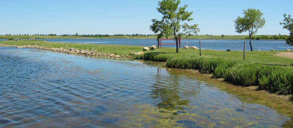
The Lac qui Parle watershed covers approximately 1,100 square miles and drains parts of Lac qui Parle, Lincoln, and Yellow Medicine counties in Minnesota as well as parts of Grant, Deuel, and Brookings counties in South Dakota. The Lac qui Parle River enters the Minnesota River about 28 miles downstream of Dawson, Minn. The Lac qui Parle River is divided between the West Branch and the South Branch that converge near Dawson and flow in a northeast direction.
The watershed is characterized by undulating and rolling slopes upstream and becomes gently sloping downstream. The area is generally rural. Corn and soybeans are the primary crops, and pigs and cattle are the primary livestock production. Cities in Minnesota include Madison, Dawson, Boyd, Canby, and Hendricks.
Monitoring and assessment
The MPCA conducted intensive watershed monitoring in the Lac qui Parle River watershed in 2015-16. The stressor identification process is underway to determine what is stressing the biological communities in impaired reaches. Modeling was completed in 2017 for use in development of the Watershed Restoration and Protection Strategy due in 2021.
Strategy development for restoration and protection
- (EPA approval 8/31/2021)
- (MPCA approval 7/22/2021)
- Lake Hendricks Watershed TMDL (1999) — Lake Hendricks is a glacial lake on the South Dakota-Minnesota border. South Dakota’s Department of Environment & Natural Resources developed a TMDL for total phosphorus and accumulated sediment that was approved by EPA Region 8 in April 1999.
Lac qui Parle - Yellow Bank TMDL
- (MPCA approval 6/20/2013)
