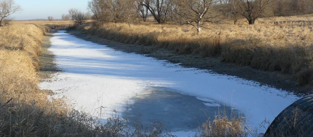
The East Fork Des Moines River Watershed covers 839,518 acres, of which 130,380 are in Minnesota's Martin and Jackson counties. It is located in the Western Cornbelt Plains ecoregion of southwestern Minnesota and northern Iowa. Cities in Minnesota's portion include Alpha, Sherburn, Dunnell, Ceylon and Wilbert. The main branch of the East Fork flows southeast for about 30 miles before emptying into Okamanpeedan Lake on the Minnesota-Iowa border. Okamanpeedan, Bright, and Pierce lakes in the eastern part of the watershed in Minnesota are used for recreation such as fishing and hunting. Several shallow waterfowl lakes are also located in the southern part of the watershed.
Land use in this watershed is dominated by row crops, with corn and soybean production accounting for approximately 85%. Okamanpeedan Lake is impaired by excess nutrients that cause algal blooms and other problems to biology like fish populations (Okamanpeedan Lake is called Tuttle Lake on the Iowa side of the water body). The main branch of the East Fork is impaired by low dissolved oxygen and turbidity, negatively affecting fish and other aquatic life as well as recreation.
County Soil and Water Conservation Districts (SWCD) have identified the resource concerns of soil erosion, drainage management and water quality as top priorities for conservation and cost-sharing efforts.
As part of a statewide effort to gauge the health of major watersheds, the MPCA is starting an intensive look at the East Fork Des Moines River Watershed. This intensive look will identify areas for restoration and protection of water quality.
Monitoring and assessment
Intensive water monitoring is complete, with the MPCA and local partners collecting data for more than two years.
Water quality model
Strategy development for restoration and protection
- (EPA approval 6/14/2021)
- (EPA approval 4/1/2021)
- (MPCA approval 2/25/2021)