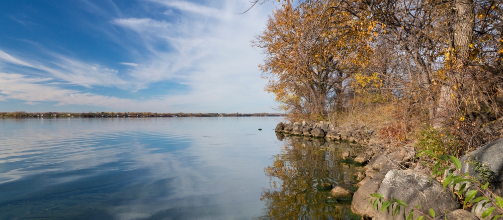
The Minnesota River - Headwaters watershed covers 487,015 acres in the Prairie Parkland ecoregion of southwestern Minnesota. Portions of Traverse, Big Stone, Swift, Lac qui Parle, Stevens, and Chippewa counties drain the watershed. It contains the communities of Browns Valley, Beardsley, Barry, Clinton, Ortonville, Odessa, Louisburg, Bellingham, Correll, Milan, and Nassau. A large portion of the watershed extends into eastern South Dakota.
Nearly 87% of the land in this watershed is privately owned. Land use in watershed is primarily agricultural, accounting for approximately 80% of the available acres. Two-year corn/soybean rotations comprise close to 90% of cropped lands within the watershed; small grains, hay, and grasslands enrolled in the Conservation Reserve Program make up the majority of the balance.
Monitoring and assessment
The Minnesota River-Headwaters watershed underwent intensive watershed monitoring in 2015-16. The stressor identification process has determined what is stressing biological communities in the impaired reaches. Additional watershed data is being collected such as drainage and shoreline.
Strategy development for restoration and protection
- (EPA approval 4/18/2022)
- (MPCA approval 3/9/2022)
Additional TMDL projects
- Minnesota River bacteria TMDL and strategies report
- (MPCA approval 6/20/2013)
