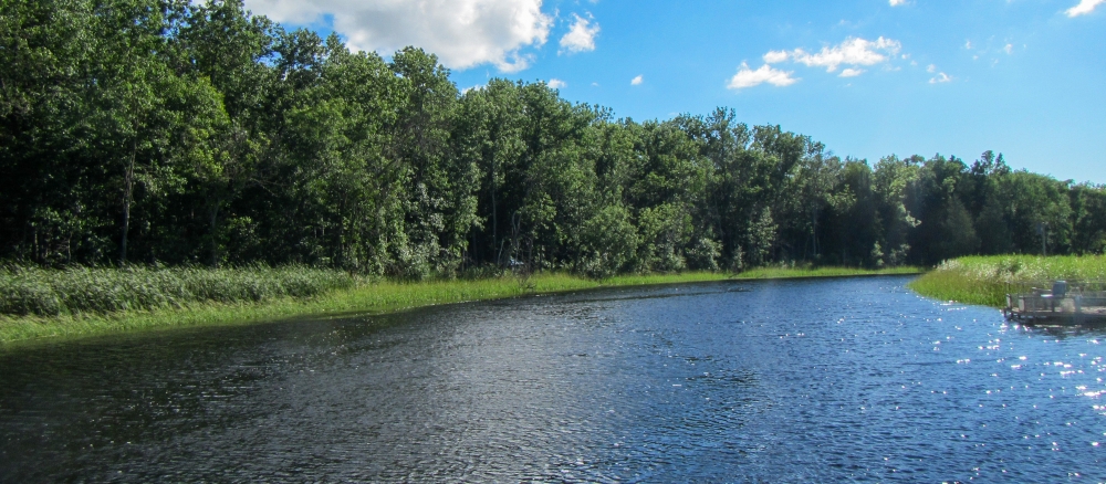
The Lower Red River watershed (also known as the Red River of the North - Tamarac River) drains an area of 281,000 acres and originates approximately eight miles east and eight miles north of the city of Middle River. It starts as part of Judicial Ditch #19 which flows generally west until it enters the Tamarac River and continues to flow west through the city of Stephen then to the northwest and west to the Red River of the North.
In addition to having a large portion of remaining forest and shrubland in the watershed district, this planning region the majority of the Strandquist Lake Plain and Dohrman Ridges ecoregions.
The area includes parts of Kittson, Marshall and Roseau counties. Other towns in the area: Alvarado, Argyle, Karlstad, Newfolden, Oslo, Stephen, Strandquist, Viking, and Warren. The area is drained by intermittent streams which usually cease to flow by about the second week in June each year. The watershed is managed as part of a watershed district that also includes the Middle and Snake rivers. Tamarac joined the district in 2004.
The topography of the area is a nearly level on the Lake Agassiz Plain to slightly undulating in the transitional and upland areas to the east. The main resource concerns in the watershed are wind/water soil erosion, wetland management, surface water quality, flood damage reduction, and wildlife habitat. Many of the resource concerns relate directly to agricultural activities in the region that have resulted in fragmentation and increased sediment and pollutant loadings to surface waters.
Various reaches of the Tamarac are impaired for turbidity and biological impairments affecting invertebrates. Additional impairments may be identified in planned studies.
Monitoring and assessment
Strategy development for restoration and protection
-
(EPA approval 4/16/2019)
-
(MPCA approval 3/21/2019)
