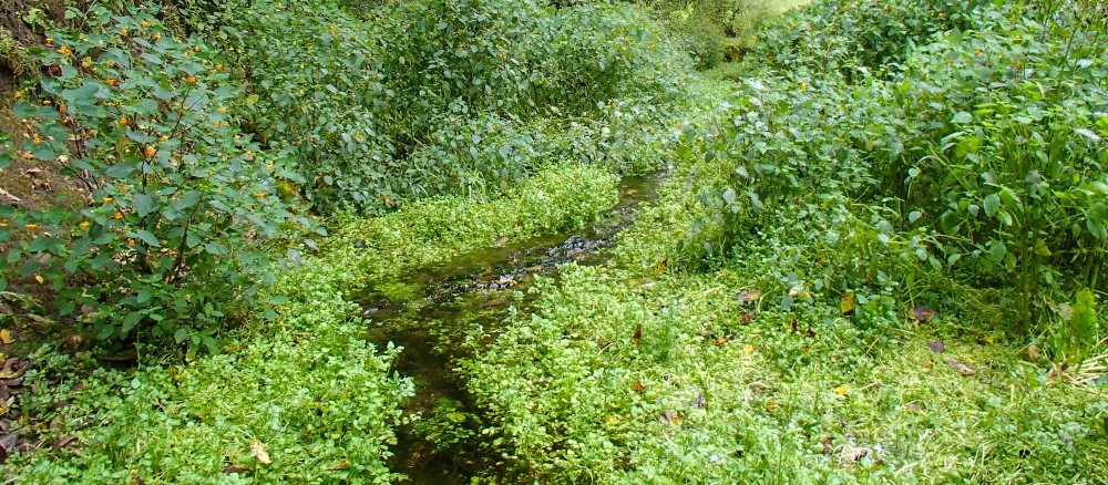
This Winnebago River consists of a stream and lake system in southern Minnesota that flows into Iowa, meaning pollutants in the headwaters on the Minnesota side affect thousands of people downstream. The chain begins with Steward Creek in Freeborn County, which flows into Bear Lake. This lake outlets to the Winnebago River, also known as Lime Creek. Other streams, often used as drainage ditches, also outlet to the creek. The Winnebago River/Lime Creek flows in and out of State Line Lake, crossing into Iowa and eventually joining the Cedar River. This river is the drinking water source for Cedar Rapids, Iowa.
The Minnesota portion of the watershed encompasses 71 square miles, with the vast majority used for agriculture. The water resources here face several water quality challenges, including high nutrient and bacteria levels. The Freeborn County Soil and Water Conservation District (SWCD) is working with local landowners and farmers to implement practices that help cropping systems and water quality.
Monitoring and assessment
Monitoring activities in the Winnebago watershed increased in rigor and intensity during 2015, focused on biological monitoring (fish and macroinvertebrates) as a means of assessing stream health. The MPCA will use the monitoring data to determine the health of streams and lakes in this watershed.
Strategy development for restoration and protection
- (EPA approval date 7/9/2020)
- (MPCA approval date 6/15/2020)