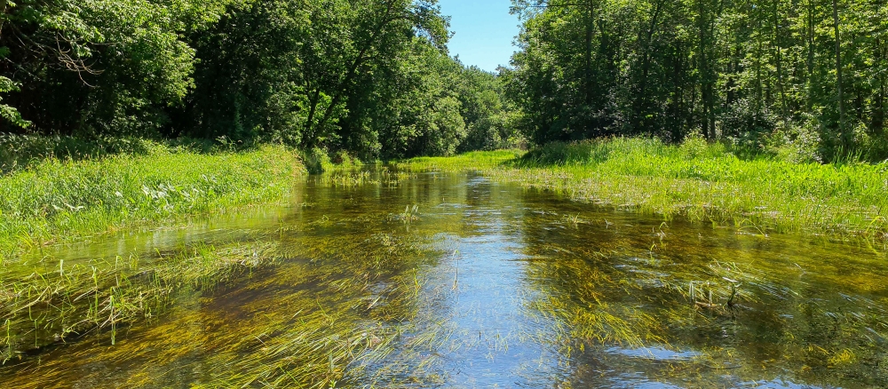
The Wild Rice River begins its course at Mud Lake in Minnesota’s Clearwater County, and flows largely to the west through Norman and Mahnomen counties. The river is joined by its two largest tributaries, the South Fork of the Wild Rice and the White Earth River before converging with the Red River of the North.
The watershed is part of the Red River Basin in northwestern Minnesota. The watershed occurs in the Glacial Lake Agassiz Plain, North Central Hardwoods, and Northern Lakes and Forests Level III ecoregions. Formed by the confluence of the Bois de Sioux and Ottertail Rivers, the Red River flows north across the plains of glacial Lake Agassiz forming much of the border of Minnesota and North Dakota, continuing on to Manitoba and flowing into Lake Winnipeg. Eastern Wild Rice is, in terms of area, the third largest watershed of the Red River basin in Minnesota, and arguably one of the most ecologically diverse. The watershed includes portions of 9 of the 12 separate agroecoregions identified in the Red River region.
Above-normal amounts of precipitation in the late fall of the year or from May to October lead to high levels of soil moisture, periodically producing the snow-melt and summer floods that are known to affect the region. Predominate land uses are row crops (53%), forest (23%), wetlands (9%), grass/pasture/hay (8%), and residential/commercial development (4%).
Agricultural land use in the basin is significant, accounting for over 60% of the overall watershed acres. Development pressure is moderate to considerable in some areas, with occasional farms, timberland, and lakeshore being parceled out for recreation, lake, or country homes.
The main resource concerns in the watershed are wind and water erosion, nutrient management, wetland management, surface water quality, flood damage reduction, and wildlife habitat. Many of the resource concerns relate directly to flooding and increased sediment and pollutant loadings to surface waters.
Monitoring and assessment
Strategy development for restoration and protection
- (EPA approval 6/29/2022)
- (MPCA approval 5/16/2022)
Lower Wild Rice River turbidity TMDL
- (EPA approval 7/17/2009)
- (MPCA approval 9/12/2009)