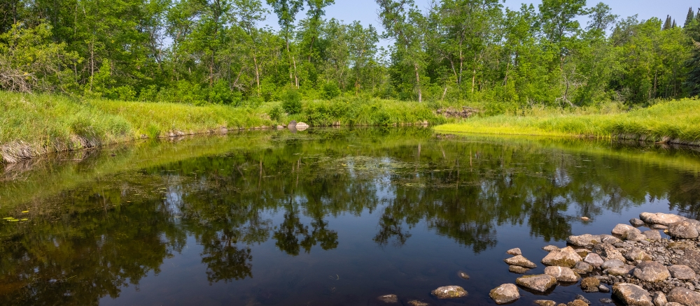
The Minnesota portion of the Roseau River watershed covers 774,197 acres; an additional 594,560 acres are across the U.S. border in Canada. The watershed is situated in two ecoregions. All but a relatively small part of the central portion of the watershed lies in the Northern Minnesota Wetlands ecoregion, and the central portion of the watershed is located in the Red River Valley ecoregion.
The watershed is the most severely impacted by flooding in the Red River Basin. Annual average flood damage (in 1996 dollars) in the watershed was estimated at nearly $4.9 million with 92% of the damage being rural. The watershed suffers 24% of flood damages occurring in the Red River Basin, outside of damages occurring along the main stem of the Red River.
Resource concerns include improved drainage for crop production, grazing management of forest and grassland, water/wind erosion, and water quality impacts. Additional resource concerns include management of flooding, short growing season, and pasture management.
The entire watershed was once covered by Glacial Lake Agassiz. When the lake receded, it left behind a level plain containing beach ridges and remnant lakes. Elevation in the watershed is approximately 1,250 feet at the headwaters, and about 780 feet at the mouth of the Roseau River. A buried aquifer underlies an area along the Roseau River in the northeastern portion of the watershed.
The majority of land within this watershed is not highly erodible, and is well to moderately well suited to agricultural uses. Agricultural land use in the basin accounts for slightly less than 50% of the watershed’s acres. Wetlands make up another 43%.
Monitoring and assessment
Strategy development for restoration and protection
-
(EPA approval 1/7/2021)
-
(MPCA approval 12/3/2020)
