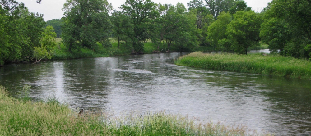
The Long Prairie River Watershed covers approximately 565,078 acres (883 square miles) and is located in the central part of the Upper Mississippi River Basin in central Minnesota. The watershed encompasses parts of Douglas, Otter Tail, Todd, Morrison and Wadena counties.
The watershed includes more than 220 lakes greater than 10 acres in size and 965 miles of rivers and streams. The Long Prairie River begins in Douglas County and flows through Todd and Morrison counties before entering the Crow Wing River south of Motley. The dominant land use within the watershed is agricultural (47%), while grasslands and forests make up 8% and 20% respectively, water and wetlands 18%, and 7% is urban. The watershed is within the North Central Hardwood Forest as well as the Northern Lakes and Forests ecoregions.
Monitoring and assessment
Strategy development for restoration and protection
- (MPCA approval 4/21/2017)
- (EPA approval 1/12/2017)
- (EPA approval 7/28/2021)
- (EPA approval 8/5/2005)