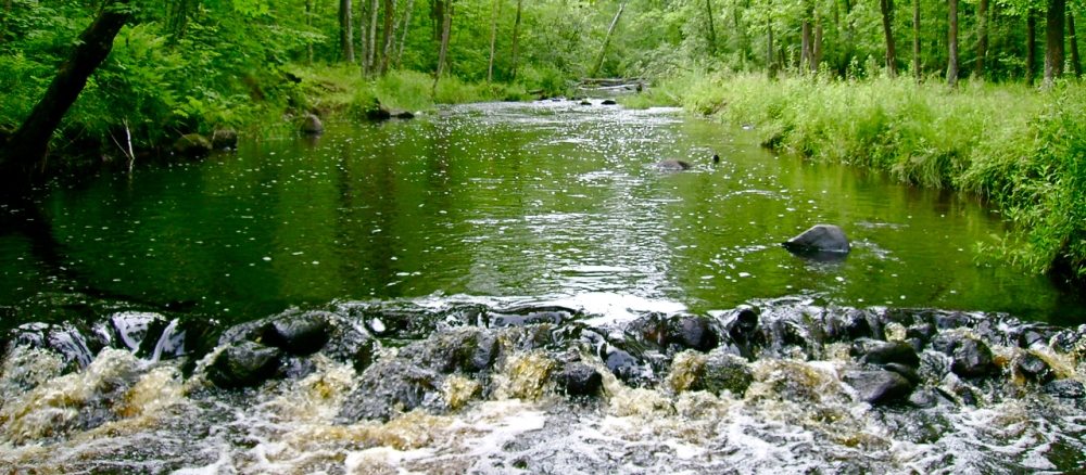
The Snake River Watershed is located north of the Twin Cities in the St. Croix River Basin and encompasses 1,006 square miles in five counties, including Aitkin, Kanabec, Mille Lacs, Pine, and Isanti. The northern portion of the watershed is located in what is known as the Northern Lakes and Forest ecoregion dominated by forests and wetlands. The southern portion is located in the North Central Hardwood Forest ecoregion and is a mixture of forest, grassland, pasture/hay and cropland. The river flows southeast to its confluence with the St. Croix River in Pine County.
This watershed supports a diverse range of aquatic species including fish and freshwater mussels, as well as a number of terrestrial threatened and endangered species. The watershed is also home to several outstanding resources such as the Mille Lacs Wildlife Management Area, the Solana State Forest, and the Rum River State Forest, which provide critical habitat for many species and support recreational activities such as hiking, fishing, camping, canoeing and wildlife viewing. Sections of the Snake River are part of the Snake River State Water Trail, one of the 35 Minnesota water trails used for paddling and camping.
Monitoring and assessment
Strategy development for restoration and protection
- (MPCA approval 6/15/2026)
- (MPCA approval 8/11/2014)
- (EPA approval 3/31/2014)
- (EPA approval 5/12/2009)
- (MPCA approval 7/15/2009)
- (EPA approval 6/3/2013)
- (MPCA approval 7/15/2013)
More information
- Snake River One Watershed One Plan
- Snake River Watershed Plan Partnership
- Aitkin County Soil and Water Conservation District
- Kanabec Soil and Water Conservation District
- Mille Lacs Soil and Water Conservation District
- Pine County Soil and Water Conservation District
- Snake River Watershed Landscape Stewardship Plan (Nature Conservancy)