The South Fork Crow River Watershed covers 818,428 acres. It is located in south-central Minnesota and encompasses parts of Kandiyohi, Renville, Meeker, McLeod, Sibley, Wright, Carver, and Hennepin counties. The South Fork Crow River joins with the North Fork Crow at Rockford, and then joins the Mississippi River near Dayton. The majority of the watershed is within the Western Cornbelt Plains ecoregion, with a small portion extending into the North Central Hardwood Forest ecoregion. Major cities include Willmar, Hutchinson, Delano and Glencoe.
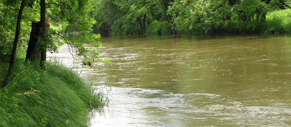
The watershed includes many lakes, streams, and wetlands. Buffalo Creek, a major tributary, flows into the South Fork Crow River downstream of Lester Prairie. Land use is largely agricultural, with row crops and pasture/grass lands accounting for approximately 83% of the overall watershed acres.
Several lakes and parts of the South Fork Crow River do not meet water quality standards for beneficial uses such as aquatic recreation, drinking, and swimming. The main lake pollutant is phosphorus, causing algae blooms in summer months, and portions of the river and its tributaries are listed for pollutants and conditions such as bacteria, turbidity, and low dissolved oxygen.
Monitoring and assessment
Strategy development for restoration and protection
- (MPCA approval 10/4/2018)
- (EPA approval 5/8/2019)
Additional TMDL projects
- (EPA approval 9/28/2010)
- (MPCA approval 11/3/2010)
- (EPA approval 12/3/2013)
- (EPA approval 2/23/2007)
- (MPCA approval (3/2007)
- (EPA approval 9/29/2017)
- (MPCA approval 7/26/2017)