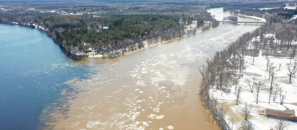
The Little Fork River Watershed is one of the largest in Minnesota, draining 1,843 square miles (1.2 million acres). The Little Fork River flows north through north-central St. Louis County 160 miles through a heavily forested and wetland landscape. It combines with the Rainy River, which forms the border between the United States and Canada, about 11 miles west of International Falls.
The watershed is sparsely populated. Major communities in the watershed include Cook (population 523), Littlefork (543), and Nett Lake (297). The watershed is the historical lands of the Bois Forte Band of Chippewa. It was originally covered with dense stands of mixed conifers and hardwoods. During the time of extensive logging, 1890s to 1937, the river served to transport logs.
Land use in the watershed has remained steady for many years, with mining, forestry, and tourism dominating. The watershed has a mix of healthy headwater lakes, widespread sediment issues in the rivers, good biological communities in both streams and lakes, and a willing and able mix of local government partners dedicated to working on conditions.
The main resource concerns in the watershed are mainly related to sediment issues in the river reaches, and an increase of nutrients, such as phosphorus and nitrogen, in the headwaters lakes. While the watershed is remote, human impacts are present and contribute to the sediment issues because of forest fragmentation, drainage, and nutrients.
Although sediment remains an issue for the main stem of the Little Fork River, from Hannine Falls to the community of Littlefork, work continues so people can understand the sources of sediment and identify potential projects for improvements.
Monitoring and assessment
Strategy development for restoration and protection
- (EPA approval 5/9/2018)
- (MPCA approval 11/28/2017)
