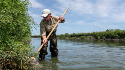
Minnesota may be known as the "Land of 10,000 lakes," but it is also home to more than 92,000 miles of rivers and streams, ranging from tiny creeks to the mighty Mississippi. The MPCA monitors water quality in these rivers and streams is several different ways. The agency uses biological monitoring to gauge the health of fish and other stream life, and the overall stream ecology. MPCA's large river monitoring employs special techniques to understand conditions, threats, and opportunities for our six largest rivers, which affect large areas of our state, the country, and Canada. The Watershed Pollutant Load Monitoring Network — 199 long-term stream and river monitoring stations — help us track stream conditions and determine how (and how much) nitrogen, phosphorus, and sediment moves from land into our waters.
Local government and watershed organizations partner with the MPCA in our water monitoring efforts. We are also grateful to the volunteers in our Volunteer Water Monitoring Program for their dedication to providing useful data the agency wouldn't otherwise be able to collect.
Your dollars at work
Funding for this initiative comes from the Clean Water Fund, part of the Clean Water, Land and Legacy Amendment that Minnesotans approved in 2008. The MPCA uses Clean Water Fund dollars to protect, enhance, and restore water quality in lakes, rivers, streams, and groundwater.