The Red River of the North - Sand Hill River Watershed covers an area of 708,469 acres. The watershed is part of the Red River Basin in northwestern Minnesota and southeastern North Dakota, and occurs in the Glacial Lake Agassiz Plain and North Central Hardwoods Level III ecoregions. Formed by the confluence of the Bois de Sioux and Otter Tail rivers, the Red River flows north across the plains of glacial Lake Agassiz forming much of the border of Minnesota and North Dakota, continuing on to Manitoba and flowing into Lake Winnipeg.
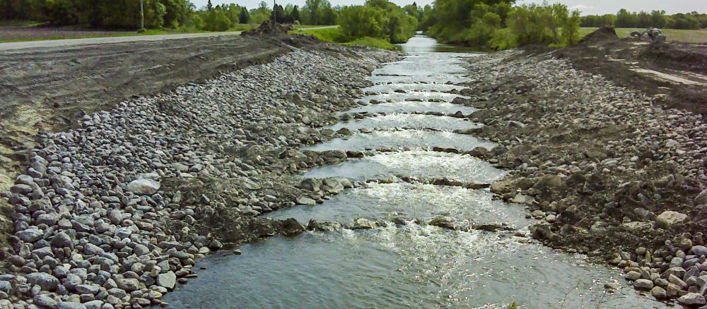
This watershed is subject to frequent floods that affect urban and rural infrastructure and agricultural production. Land use is largely agricultural, accounting for nearly 85% of the overall watershed acres. Many of the resource concerns in the watershed — water erosion, nutrient management, wetland management, surface water quality, flood damage reduction, and wildlife habitat — relate directly to flooding and increased sediment and pollutants in surface waters.
Monitoring and assessment
Strategy development for restoration and protection
- (EPA approval 6/27/2017)
- (MPCA approval 10/6/2017)