The Cedar River Watershed in southeastern Minnesota is part of a larger river basin that covers 7,485 square miles, mostly in Iowa. The river runs south 54 miles from its headwaters in Dodge County, through the city of Austin, to the Minnesota-Iowa border. The Minnesota portion spans 592 square miles of prime agricultural land with many streams and drainage ditches flowing into the river. The watershed is fairly flat with a few shallow lakes. People have installed extensive artificial drainage systems that facilitate farming and transportation but also alter the hydrology in negative ways.
The city of Austin, the regional economic hub, is located on the Cedar River at the confluence of several tributaries. Austin and the rest of the watershed have a history of flooding that results in crop losses and property damage to both rural and urban areas
Monitoring and assessment
Based on water monitoring, the MPCA found that Geneva Lake, 10 streams and 6 segments of the Cedar River do not meet state water quality standards. Problems include:
- sediment that makes the water cloudy and degrades stream habitats
- excess nutrients that can lead to algae
- excess bacteria that can make the water unsafe at times for recreation like swimming
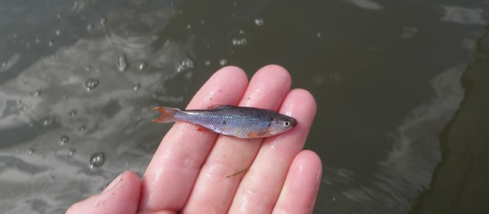
- mercury and PCBs in fish that limit how much people should eat
The MPCA also focused on better understanding of stressors: factors that negatively affect fish and other aquatic life:
- altered hydrology
- sediment that degrades habitat
- nitrate-nitrogen
To address the problems with sediment and nutrient pollution, many local units of government, led by the Mower County SWCD, coordinated the total maximum daily load (TMDL) project to identify sources of pollutants, recommend reductions in pollutant amounts, and outline ways to achieve those reductions. Participants included:
- Mower, Freeborn, and Dodge counties
- Cedar River and Turtle Creek watershed districts
- City of Austin
- several state agencies, including the MPCA, DNR, and BWSR
MPCA reports provide detailed data and information on watershed water quality and biological stream conditions in Minnesota.
Strategy development for restoration and protection
Landowners have installed and maintained conservation practices in the Cedar River watershed for many decades. As federal, state, and local partners worked on the watershed restoration and protection strategies (WRAPS) report, they pursued a more coordinated and comprehensive approach. Projects include:
- septic system surveys and upgrades
- wetland restorations
- Geneva Lake management
- Mower SWCD Soil Health Initiative
- Mississippi River Basin Heathy Watersheds Initiative (U.S. Dept of Agriculture)
Strategy development reports
- (MPCA approval 5/24/2019)
- (EPA approval 6/24/2019)