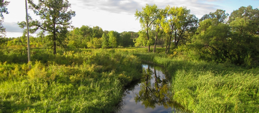
The Two Rivers watershed is part of the Red River Basin in northwestern Minnesota. The watershed occurs in the Glacial Lake Agassiz Plains and Northern Minnesota Wetlands Level III EPA Ecoregions. Two Rivers actually consists of three branches – the North, Middle, and South Branch. The South Branch arises southeast of Badger and flows in a westerly direction. The Middle Branch drainage area begins east of the Kittson and Roseau County line and travels through the central portion of Kittson County, outletting into the South Branch just east of the city of Hallock. The North Branch drainage area begins in northwestern Roseau County, and joins the South Branch to form the main stem three miles east of where it outlets into the Red River.
Precipitation in the watershed ranges from 19 to 21 inches annually. Above-normal amounts of precipitation in the late fall of the year or from May to October lead to high levels of soil moisture, periodically producing the snow-melt and summer floods that are known to affect the further reaches of the overall Red River Basin.
The greater Red River Basin characteristically has a poorly defined floodplain and low gradient that combine with extensive drainage, widespread conversion of tallgrass prairie to farmland, and urban/suburban development to leave the basin subject to frequent floods that affect urban and rural infrastructure and agricultural production.
Predominant land uses: row crops (65%), wetlands (15%), forest (10%), grass/pasture/hay (5%), and residential/commercial development (4%). Agriculture accounts for approximately 75% of the overall watershed acres.
The main resource concerns in the watershed are wind erosion, surface water quality, nutrient, wetland and pasture management, water quantity management, and wildlife habitat. Many of the resource concerns relate to flooding and increasing sediment and pollutant loadings to surface waters.
This watershed project is complete. The WRAPS Report was approved by the MPCA on June 10, 2019, and the TMDL Report was approved by the EPA on June 27, 2019. See links below for the final reports. The second cycle of intensive watershed monitoring will begin in 2023.
Monitoring and assessment
Strategy development for restoration and protection
-
(MPCA approval 6/10/2019)
-
(EPA approval 6/27/2019)
