Excessive nutrients, changes in land use, and climate change continue to pose challenges to efforts to clean up and protect Minnesota’s waters, a group of MPCA watershed studies reports. These challenges come even as some of the watersheds show improvements in water quality compared to previous reports.
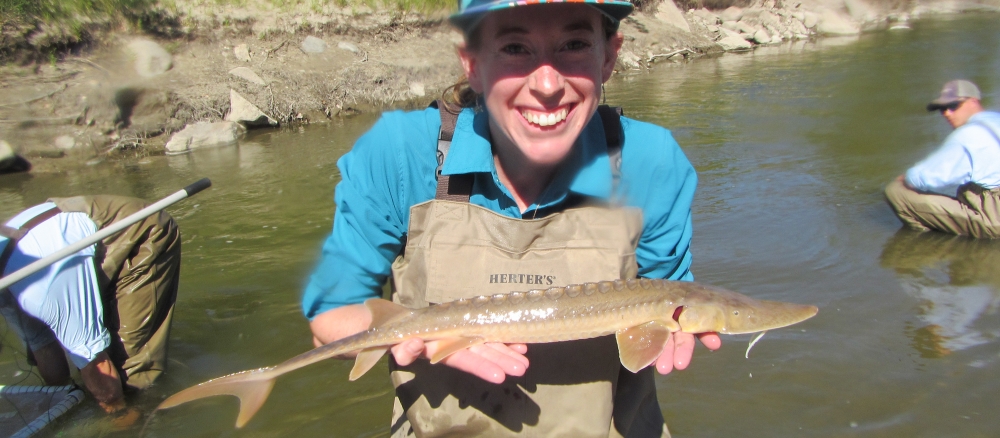
Water scientists from the MPCA published four watershed restoration and protection strategy reports — often called WRAPS reports — in 2025, updating the data we need to keep Minnesota’s waters clean and protected. The research includes counting fish and bugs, testing for chemicals and sediment, and recommending steps for improvement. WRAPS reports use that research to provide watershed districts with the scientific basis to prioritize local water management.
This year’s reports build on efforts launched more than a decade ago to assess and restore each of the state’s 80 watersheds on a rotating 10-year schedule. The findings highlight continued progress in promoting better management across agriculture, forestry, and urban development. In farming regions, recommended strategies include practices such as crop diversification, planting continuous living cover including cover crops, and establishing buffer strips to curb runoff. In cities and towns, green infrastructure, such as rain gardens and permeable pavements, helps control stormwater and improve water quality. The MPCA also continues to emphasize community engagement, providing outreach and education to help residents understand how their choices affect watershed health.
Minnesota’s Clean Water Fund, which allocates a portion of sales taxes to ensure Minnesota's waters are clean for future generations, makes the research that goes into these WRAPS reports possible.
Here’s a look at the watersheds revisited this year.
Le Sueur River (April)
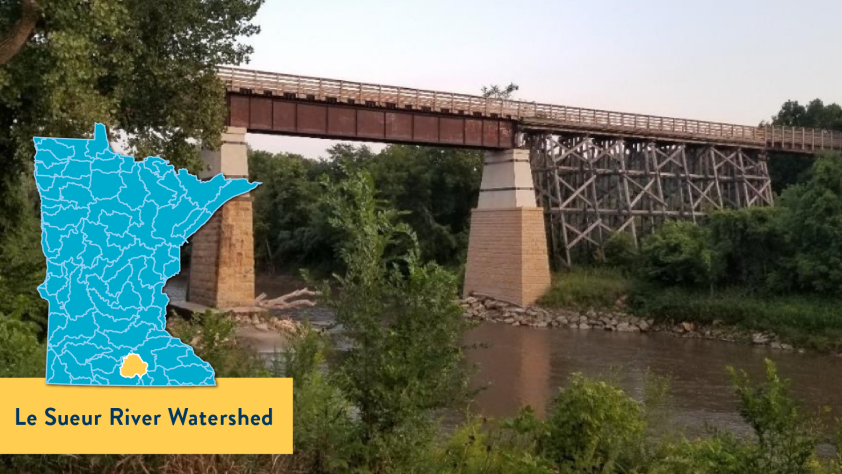
The Le Sueur River in southern Minnesota continues to carry some of the highest levels of sediment, nitrogen, and phosphorus in the state when compared to other river systems. These pollutants, along with increasing water flow, are mostly caused by how the land is used and by changes in the climate. Over the past 10 years, conditions have mostly stayed the same.
The river is an important local spot for kayaking, birdwatching, fishing for species like walleye and catfish, and other recreation. But it also sends more pollution and sediment per acre to the upper Mississippi River than almost any other nearby watershed. Land-use practices that involve draining the land, along with more frequent heavy rains, have caused the riverbanks and bluffs to erode faster. This erosion threatens homes and local roads.
Despite these challenges, a few lakes and rivers did improve. Many landowners have taken action by using better land and water practices. A local group, the Le Sueur River Watershed Network, helped educate people and encouraged clean water efforts.
Regular water testing will be needed to see if lakes and rivers are meeting clean water standards. The new research recommends that some headwater reaches be re-meandered to restore stable conditions by reconnecting streams to their floodplains.
Watershed-wide strategies should be considered to reduce the effects of high intensity agricultural land use, implementing best management practices that improve soil health, groundwater protection through better land management, and nutrient management. With continued work from residents and experts, the health of the watershed can get better.
- Watershed information: Le Sueur River
- (MPCA approval 4/29/2025)
Big Fork River (July)
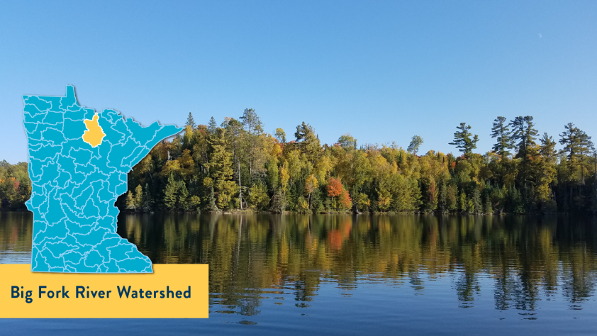
The Big Fork River Watershed in northern Minnesota is a largely pristine wilderness, home to a rich network of healthy lakes, streams, and wetlands. Water quality monitoring has revealed few impairments, highlighting the exceptional condition of this remote, forested landscape.
The watershed contains six stream reaches classified as “exceptional,” totaling more than 100 miles, along with eight lakes that have also earned the exceptional designation, the highest of four tiers on the tiered aquatic life uses (TALU) scale. It also boasts a high concentration of coldwater lakes that provide critical habitat for species such as cisco, lake whitefish, and lake trout. These deep, clear lakes are projected to remain suitable for coldwater fish even in the face of significant climate warming.
While the overall condition of the watershed is strong, MPCA scientists have identified targeted restoration strategies for several lakes, rivers, and streams that currently do not meet aquatic recreation standards due to excess nutrient levels. Island Lake is a key focus. A special study is also planned for Bowstring and Round lakes, that includes the MPCA partnering with the Leech Lake Band of Ojibwe.
To protect its exceptional resources, the watershed will be considered for antidegradation policies, an approach that prioritizes maintaining high water quality. Preventing degradation is generally more cost-effective and sustainable than attempting restoration.
In addition, new protections for coldwater fish are under development. Similar to standards applied to designated trout waters, more stringent criteria will be established for lakes supporting species such as cisco and lake whitefish, ensuring their long-term habitat viability.
- Watershed information: Big Fork River
- MPCA approval 7/29/2025
Redeye River (November)
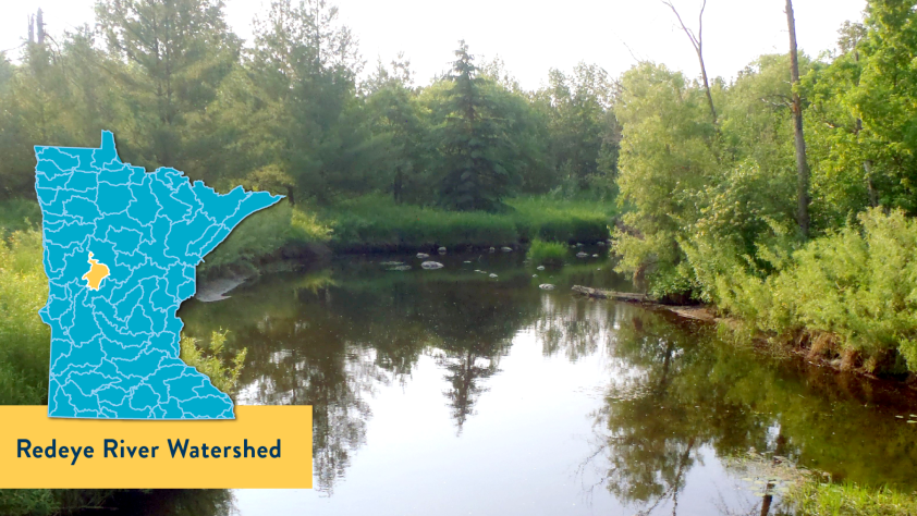
The Redeye River Watershed in central Minnesota has remained largely stable over the past decade, with most lakes and streams continuing to meet standards for aquatic life and recreation. The watershed spans a diverse landscape of agriculture, forests, and wetlands.
All lakes re-sampled in recent monitoring efforts support aquatic recreation. However, East Leaf Lake is showing elevated nutrient levels, placing it at risk for future impairment and highlighting the need for proactive protection strategies. In streams, 71% of the assessed segments support aquatic life. Notably, three previously impaired streams have improved enough to be removed from the state’s impaired waters list.
Despite this progress, five new stream impairments have been identified, mainly due to non-pollutant stressors such as low oxygen, altered flow, and habitat degradation. E. coli remains a concern in eight stream reaches, though conditions in two are improving. Recent findings also point to emerging climate and land-use pressures. Nitrate levels are rising in both streams and groundwater, largely due to agricultural runoff. While overall sediment levels remain steady, localized sediment hot spots exist. Streamflow has declined 13% over the past decade, and winter temperatures are increasing, accompanied by shifting precipitation patterns, with wetter springs, summers, and falls and drier winters.
To address current and emerging challenges, the latest research recommends targeted actions. These include protecting East Leaf Lake through shoreline buffers, stormwater management, and nutrient reductions; restoring E. coli-impaired streams using best management practices such as keeping livestock out of waterbodies and manure management; and aligning local efforts through the One Watershed, One Plan (1W1P) process to support long-term water resource health.
- Watershed information: Redeye River
- (MPCA approved 12/23/2025)
Chippewa River (December)
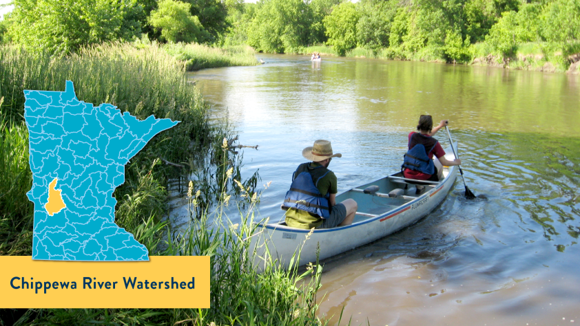
The Chippewa River Watershed in western Minnesota is one of the state’s most agriculturally active regions. It supports farming, wildlife, and recreation. Some areas show encouraging signs of recovery, but the watershed faces mounting challenges from climate-related changes such as heavier rainfall, faster runoff, and reduced water storage.
Initiatives to restore and protect water resources are producing measurable results, including lower phosphorus levels, clearer lakes, and improved stream insect life. A major highlight is the reduced sediment at the watershed’s outlet. These improvements stem from better manure and stormwater management, septic system upgrades, and targeted conservation practices.
Still, persistent stressors remain. Streamflow has increased by 50% compared to historical levels, causing erosion of streambanks and quick transport of pollutants. Nitrogen levels have jumped 65% since the early 2000s, with Shakopee Creek emerging as a critical nutrient hotspot. While some streams have been removed from Minnesota’s impaired waters list, others have been added, and E. coli contamination remains widespread across all tested streams. Eight lakes have shown rising nutrient levels.
Looking ahead, the WRAPS plan emphasizes targeted solutions in high-risk areas, expanded water storage through wetlands and vegetation, and continued infrastructure upgrades.
- Watershed information: Chippewa River
- (MPCA approval 2/13/2026)
A wider look at Minnesota water health
In 2025, the MPCA published Flowing forward: Trends in Minnesota’s lakes and rivers, a report that looks at water health across the state. While results from individual and groups of watersheds are varied, most show either improved biological conditions or have no discernible change. There are a growing number of success stories showing real improvements in water quality.