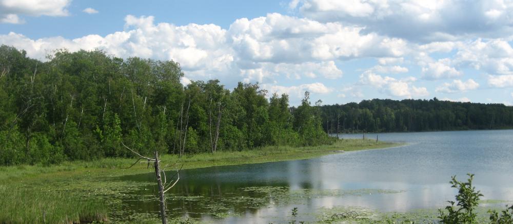
The Leech Lake River watershed consists of approximately 854,659 acres (1,335 sq. miles) in the northern part of the Upper Mississippi River Basin. The watershed includes parts of Beltrami, Cass, and Hubbard counties. Major communities in the watershed are Laporte, Benedict, Walker, Federal Dam, Boy River, Whipholt, Longville, and Hackensack. The watershed also includes the Leech Lake Reservation (Leech Lake Band of Chippewa). The Leech Lake River watershed has 277 total river miles and contains over 750 lakes with a total acreage of 166,374.
The Leech Lake River watershed is situated in the heart of Minnesota’s lake country and contains some of the most pristine natural resources in Minnesota. This watershed has a very high degree of biodiversity in its thousands of acres of forests and surface waters. One-half of Minnesota’s naturally producing Muskie lakes and a quarter of the natural Muskie habitat in the U.S. is located in the watershed.
Currently, the surface water resources within this watershed meet Minnesota’s water quality standards for conventional pollutants (not including mercury). However, these resources are experiencing increased pressure from development and subsequent loss of shoreline and aquatic habitat. The surface water resources within this watershed are highly prized for their recreational value and these resources attract several hundred thousand vacationers to the area each year. The protection of these resources is vital in sustaining the local economy and natural heritage and character of this watershed.
The major threats to the watershed include:
- Loss of shoreline and aquatic habitat due to development.
- Population growth of up to 60% projected for the watershed by 2030, according to Minnesota State Demographers.
- Increased nutrient, contaminant, and sedimentation loading from stormwater runoff from development and other non-point sources.
- Loss of biodiversity due to competition from invasive species.
Monitoring and assessment
Strategy development for restoration and protection
-
(MPCA approval 5/10/2017)
