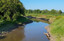
Bois de Sioux River
The Bois de Sioux River watershed covers 718,685 acres, and includes the drainage basins of Lake Traverse and the Bois de Sioux River.
The Bois de Sioux River watershed covers 718,685 acres, and includes the drainage basins of Lake Traverse and the Bois de Sioux River.
The Buffalo River Watershed covers more than 1,100 square miles in portions of Becker, Clay, Otter Tail, and Wilkin counties.
The Clearwater River watershed drains an area of 886,600 acres in the Red River of the North basin. The river flows to the northwest and southwest, eventually emptying into Red Lake River near Red Lake Falls.
The Lower Red River watershed (also known as the Red River of the North - Tamarac River) drains an area of 281,000 acres, including parts of Kittson, Marshall, and Roseau counties.
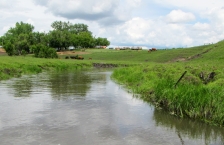
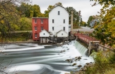
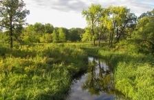
The Mustinka River begins its course southwest of Fergus Falls in southwestern Otter Tail County and flows toward the south into Grant County, where it continues through Stony Brook Lake and Lightning Lake.
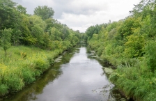
The Otter Tail River watershed encompasses three different ecoregions, covering more than 1.2 million acres in west-central Minnesota.
The Red Lake River watershed, which covers 909,024 acres, is part of the Red River Basin in northwestern Minnesota. The Red Lake River begins its course in Beltrami County at Lower Red Lake.
The Red River of the North - Grand Marais Creek watershed covers 298,264 acres and is part of the Red River Basin in northwestern Minnesota and southeastern North Dakota.
The Red River of the North - Marsh River watershed is part of the Red River Basin in northwestern Minnesota and southeastern North Dakota.
The Red River of the North - Sand Hill River Watershed covers 708,469 acres and is part of the Red River Basin in northwestern Minnesota and southeastern North Dakota.
The Minnesota portion of the Roseau River watershed covers 774,197 acres; an additional 594,560 acres are across the U.S. border in Canada.
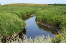
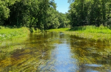
The Snake River begins its 50-mile course in Marshall County and drains an area of 611,800 acres. The Snake River Watershed lies within Marshall, Polk, and Pennington Counties in NW Minnesota.
The Thief River begins its course in Marshall County at Thief Lake, flowing south/southwest to converge with the Red Lake River.
The Two Rivers watershed is part of the Red River Basin in northwestern Minnesota. Two Rivers actually consists of three branches: the North, Middle, and South Branch.
The Upper Red River watershed drains an area of 371,689 acres in the Glacial Lake Agassiz Plain, while the extreme southeastern portion of the basin lies in the North Central Hardwoods ecoregion. The Red River begins its course just below Breckenridge, Minn.
The Upper/Lower Red Lake watershed covers more than 1.2 million acres and is home to Upper and Lower Red Lakes, the two largest bodies of water within the state.
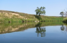
The Wild Rice River begins its course at Mud Lake in Minnesota's Clearwater County, and flows largely to the west through Norman and Mahnomen counties.