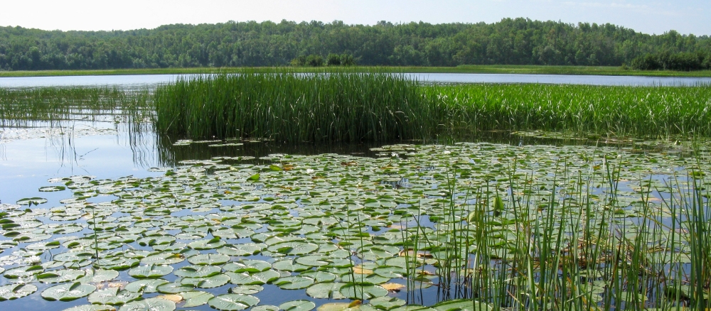
The St. Louis River Watershed covers 3,584 square miles at the head of the Great Lakes and represents the extreme headwaters of the St. Lawrence River. The St. Louis River flows in a circuitous course for 195 miles from its recognized source at Seven Beaver Lake to Lake Superior at the Superior entry of the Duluth-Superior harbor. The watershed is located entirely within the Laurentian Mixed Forest Province of the National Ecological Classification System.
The St. Louis River Watershed is highly fragmented by small, short tributaries, which are a result of the shallow gradient over a majority of the surface area. Two major tributaries drain a substantial portion of the watershed. The St. Louis River drops 1,067 feet from its highest elevation at Seven Beaver Lake (1,669 feet) down to Lake Superior (602 feet); 83% of the river’s total drop occurs along 30% of its course; this is located within the upper section from Seven Beaver Lake to the Partridge River and from the city of Cloquet to the Fond du Lac Reservoir. Five hydroelectric power facilities utilize the steep gradient within the lower section of the river. Gradient within these sections ranges from 29.1 to 34.5 feet per mile. Gradient within the balance of the rivers course ranges from 0.6 to 1.8 feet per mile.
The average yearly flow of the St. Louis River at Scanlon is 2,284 cubic feet per second (cfs). Average yearly high and low flows are 14,617 and 465 cfs, respectively. The maximum flow of nearly 38,000 cfs was recorded in the spring of 1938.
The MPCA will address its work in the St. Louis River in two distinct segments. The Fond du Lac Dam, approximately 21 miles upstream of Lake Superior, will be the project's separation point. The decision to make two projects was driven by hydrologic variables in the portions of the river that are heavily influenced by Lake Superior’s effects.
Land ownership within the watershed is mixed and patterns are variable depending on location. Private land dominates the watershed’s lower section, below the confluence of the Cloquet River, and the upper section, along the base of the Giants Range. Tribal land, owned by the Fond du Lac Band of Lake Superior Chippewa, is located primarily in the lower portion of the watershed. State and county government are the primary landowners in the Cloquet and Whiteface watersheds and the middle portion of the St. Louis watershed. The federal government is the main landowner of the headwaters region of all three major rivers within the watershed. The St. Louis River’s immediate riparian corridor of the mainstem has a high percentage of privately owned land.
In 1987, concerns over environmental quality conditions prompted the designation of the lower St. Louis River as an Area of Concern (AOC); this includes the segment from Cloquet to Lake Superior. As a part of the AOC program, a tremendous amount of work is being accomplished on the lower St. Louis River and estuary by the MPCA Great Lakes Program.
Duluth Urban Area Watershed
The St. Louis River Watershed overlaps with the Duluth Urban Area Watershed, an area designated to address the complexity of a water-rich, densely populated urban center. The MPCA is working with a range of partners to monitor water quality in Duluth streams and develop restoration and protection strategies.
Monitoring and assessment
For the purposes of MPCA-directed work, the Cloquet River has been separated out of the larger St. Louis watershed and treated separately in intensive watershed management.
Strategy development for restoration and protection
- (EPA approval 10/17/2018)
- (MPCA approval 8/9/2018)
- (EPA approval 1/9/2018)
Mercury TMDL
The St. Louis River Watershed mercury TMDL will determine the mercury reductions needed to meet the water quality standard for mercury and support healthy consumption of fish.