The Cannon River Watershed is located south of the Twin Cities and encompasses areas of Dakota, Goodhue, Le Sueur, Steele, Rice and Waseca counties. The watershed drains approximately 1,460 square miles to the Mississippi River.
A transition between the driftless terrain of the southeast Minnesota and the glaciated lands of south-central Minnesota, this watershed is located at the intersection of three different ecoregions: north central hardwoods, western cornbelt plains, and the driftless area. It encompasses a diverse landscape that supports productive farms and growing urban centers. It includes 90 lakes and 107 wetlands of 10 acres or more, numerous rivers and streams, and groundwater that is sensitive to pollution. More than 70% of the land area is in cultivation. While the watershed provides important ecological, recreational, and economic benefits, it continues to face persistent water-quality challenges. Primary stressors include excess nutrients (phosphorus and nitrogen), sediment, and bacteria, largely driven by agricultural runoff, tile drainage, urban stormwater, and altered hydrology.
The Cannon River Watershed consists of two river systems:
- From the south, the Straight River headwaters begin as a fan of smaller streams and ditches and connects with the Cannon River in Faribault.
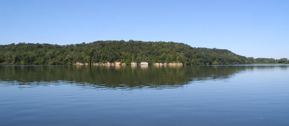
- The Cannon River begins as the outflow of Shields Lake then flows east connecting with a number of other lakes, streams, and the Straight River, Continuing east, it flows through the Cannon Lake Reservoir and the Byllesby Reservoir. Once it reaches the driftless area, the river flows past scenic limestone bluffs until it finally empties into the Mississippi River north of Red Wing. Minnesota has designated the Cannon River, from Faribault to the Mississippi, as a Wild and Scenic River.
The MPCA conducted initial reviews of the Cannon River Watershed from 2011 to 2017. A second cycle began in 2023. An updated watershed restoration and protection strategy report (WRAPS) was completed in 2026.
Monitoring and assessment
Strategy development for restoration and protection
- (MPCA approval 10/20/2016)
- (EPA approval 2/16/2017)
Other TMDL projects
- (EPA approval 9/2/2014)
- (EPA approval 9/2/2014)
- (EPA approval 7/13/2007)
- (MPCA approval 10/14/2009)
Water quality model supporting documents
- (more information about using the HSPF tool)
The MPCA and local partners have also completed:
- a special study of Rice Creek, a trout stream in Rice County
- a study of the Straight River watershed, which included an examination of the stream and river channels in that watershed, and construction of a model for use in future implementation planning