The Mississippi River - Brainerd watershed covers 1,079,950 acres (1,687 square miles) in the north-central part of the Upper Mississippi River Basin in central Minnesota. The watershed boundary begins in Aitkin County where the river flows through the cities of Aitkin, Brainerd/Baxter, and Little Falls. The watershed encompasses all or parts of Aitkin, Cass, Crow Wing, Morrison, and Todd counties.
Almost half of the watershed is forested (42%), while grasslands and shrub wetlands make up 38%, row crops 10%, water 6%, and 4% is urban. The majority of the watershed is within the North Central Hardwood Forest with small sections in the Northern Lakes and Forests ecoregion.
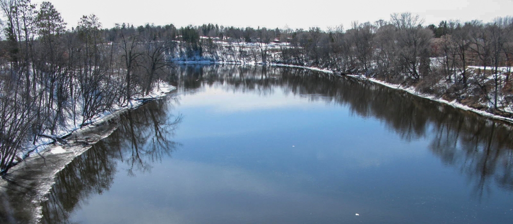
The watershed has approximately 2,149 total river miles and contains 212 lakes greater than 10 acres in size. There are several impaired lakes and streams in this watershed.
Monitoring and assessment
Strategy development for restoration and protection
-
(EPA approval 9/1/2020)
-
(MPCA approval 7/30/2020)
-
(EPA approval 12/15/2020)
- Recorded Webex: Upper Mississippi River TSS TMDL - Q&A meeting (Aug. 18, 2020)