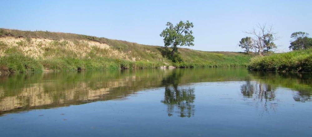
The Upper Red River of the North Watershed begins at the confluence of the Bois de Sioux and Otter Tail Rivers and ends at the outlet of the Buffalo River approximately 133 river miles to the north. The watershed covers parts of Clay, Otter Tail, and Wilkin counties and includes the cities of Breckenridge, Moorhead, and Fargo.
Agriculture is the primary land use within the watershed, with approximately 85% of the watershed land in agriculture and cropland. As a result, many streams have been channelized and an extensive ditch network has been established to facilitate drainage and improve agricultural production.
The region has a poorly defined flood plain and low gradient. This combines with the extensive drainage, widespread conversion of tallgrass prairie to farmland, and some urban/suburban development near larger cities to leave the watershed subject to frequent floods that affect urban and rural infrastructure and agricultural production.
Main water quality concerns in the watershed include altered hydrology and excess sediment and bacteria. Important resource concerns within the watershed include preventing further altered hydrology, wetland restoration and improvement, surface water quality, flood damage reduction, wildlife habitat, and soil erosion from wind and water.
Monitoring and assessment
Strategy development for restoration and protection
-
(MPCA approved on 12/22/2017)
-
(EPA approval 1/25/2018)
