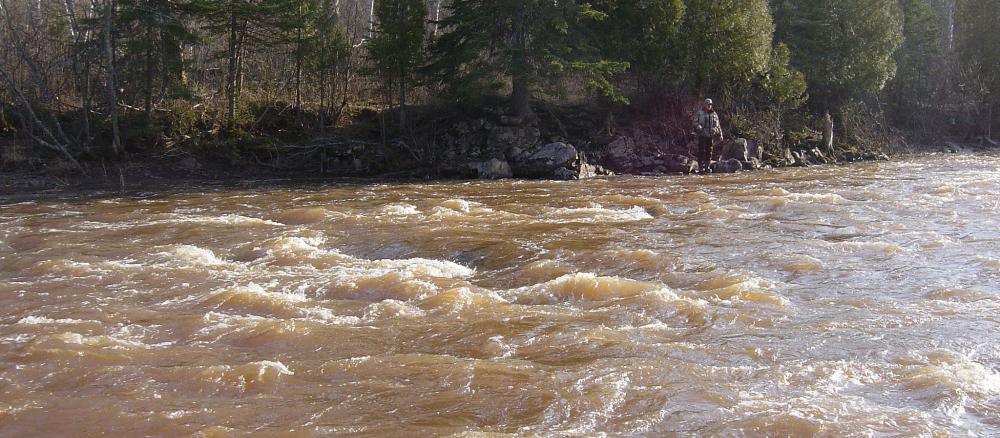
The Lake Superior - South watershed covers 402,371 acres. Located in the Northern Lakes and Forest Ecoregion, the soils and subsurface geology are dominated by bedrock, glacial till complexes, and erodible lake-laid clay soils. Bedrock is complex in its evolution and contributes to the spectacular mountains and ridges that slope toward Lake Superior. Numerous streams flow through the bedrock cracks forming waterfalls, cascades, and rapids. Lakes are found predominantly in the northeastern-most section. Major developed areas include the city of Duluth and towns of Two Harbors, Beaver Bay, and outskirts of Silver Bay. Significant development is also located along Lake Superior’s shoreline.
Land use in the watershed is a mix of urban and commercial, resort and rural residential. Tourism and forest products are significant components of land-use activity. Some commercial/industrial uses, including marinas, shipping ports, and taconite processing support, utilize and/or depend upon water resources.
Two major state parks, Gooseberry and Split Rock Lighthouse, are within the watershed. The smaller Tettegouche State Park is located on the watershed’s far eastern boundary.
The watershed is a source of exceptional water quality in many lakes, streams and rivers. However, some streams do not meet water quality standards for beneficial uses such as aquatic recreation, drinking, and swimming due to excess levels of turbidity and bacteria (E. coli). Turbidity is associated with suspended sediment. Additional stressors such as elevated stream temperatures in recent summers and lack of persistent flow have become sources of concern for resource managers.
Major developed areas include the city of Duluth and towns of Two Harbors, Beaver Bay, and outskirts of Silver Bay. Significant development is also located along Lake Superior’s shoreline.
Monitoring and assessment
Strategy development for restoration and protection
- (EPA approval 2/22/2019)
- (MPCA approval 8/2/2018)
- (EPA approval 7/2/2010)
- (MPCA approval 12/9/2011)
