Located in southeast Minnesota and northeast Iowa, the Upper Wapsipinicon Watershed lies within the Eastern Iowa and Minnesota Drift Plains portion of the Western Corn Belt Plains ecoregion. Approximately 98% of the 991,980 acres in this watershed are privately owned. The remaining acres are state, county or miscellaneous public lands or covered by open water.
Assessment estimates indicate 2,255 farms in the watershed. Approximately 55% of the operations are less than 180 acres in size, 40% are from 180 to 1,000 acres in size.
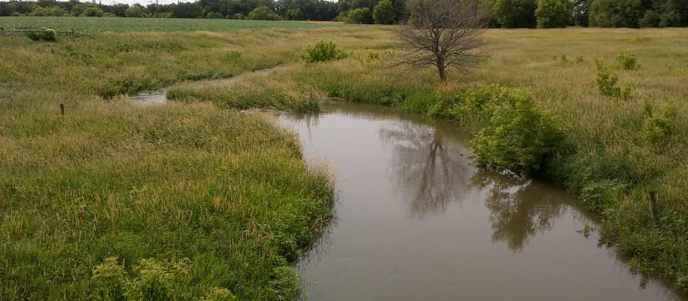
The main resource concerns in the watershed are sediment and erosion control, drinking and source water protection, animal waste management, nutrient management, wetland management, stormwater and wastewater management.