The Thief River begins its course in Marshall County at Thief Lake. The river flows south/southwesterly to Thief River Falls, where it converges with the Red Lake River. The Thief River Watershed covers an area of 624,422 acres.
Approximately 50% (309,530 acres) of the land in the watershed is owned by private landholders. The state owns approximately 245,000 acres (39%), Federal lands make up 61,628 acres (10%), and Tribal lands account for 8,061 acres (1.3%).
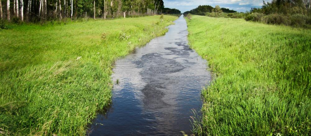
Predominate land uses/cover: wetlands (33%), row crops (33%), forest (21%), grass/pasture/hay (8%), and residential/commercial development (3%). Agricultural land use in the basin accounts for approximately 40% of the overall watershed acres. Development pressure is moderate in most areas, with occasional farms, timberland, and shorefront being parceled out for recreation, lake, or country homes.
The watershed occurs in the Glacial Lake Agassiz Plain and Northern Minnesota Wetlands EPA Level III Ecoregions. Soils range from fine loams to coarse loams, with areas of sandy soils occurring in the northern reaches of the basin.
Precipitation in the watershed ranges from 21 to 23 inches annually. Above-normal amounts of precipitation in the late fall of the year or from May to October lead to high levels of soil moisture, periodically producing the snow-melt and summer floods that are known to affect the further reaches of the overall Red River Basin. The greater Red River basin characteristically has a poorly defined floodplain and low gradient that combine with extensive drainage, widespread conversion of tallgrass prairie to farmland, and urban/suburban development to leave the basin subject to frequent floods that affect urban and rural infrastructure and agricultural production.
The main resource concerns in the watershed are wind erosion, surface water quality, nutrient, wetland and pasture management, water quantity management, and wildlife habitat. Many of the resource concerns relate to flooding and increasing sediment and pollutant loadings to surface waters.
Monitoring and assessment
- Thief River Watershed sediment investigation report (2010) — a previous study conducted through a Clean Water Partnership grant in the watershed
- Thief River Watershed fluvial geomorphology report (2015)
Strategy development for restoration and protection
- (EPA approval 3/28/2019)
- (MPCA approval 3/18/2019)