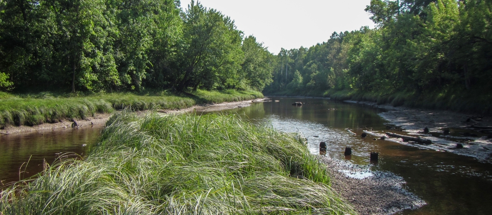
The Lower Rainy River Watershed is composed of a conglomeration of tributaries to the Rainy River, from International Falls and west to the Rainy River’s pour point at the Lake of the Woods. West of the Rapid River, this watershed’s major waterways include Wabanica Creek, Winter Road River, Baudette River, Silver Creek, and Miller Creek. East of the Rapid River, the Black River and its tributaries comprise the bulk of this watershed’s drainage area.
Streams and rivers in the Lower Rainy River Watershed largely drain wetland and peat bog terrain. While much of the watershed’s natural stream length remains unaltered, wetlands and peat bogs were extensively ditched at the turn of the 20th century in attempt to drain land for agricultural development. A relatively small portion of these ditched systems have been restored to natural condition and today, 50% of the watershed’s total stream length, (including artificial created ditches) within the Lower Rainy River has been altered. The Black River Watershed and its southern tributaries including the south fork of the Black River have been particularly impacted by this ditching.
The main resource concerns in the watershed are management of excessive wetness, wetland and woodland management, pasture management, and surface water quality. This once-glaciated area is part of the Agassiz Lowlands Region. Soils in this area are generally sandy loams, with considerable deposits of glacial till and outwash over a bedrock residuum. Average elevation in the watershed is 1,136 feet above sea level, with the highest values being in the western and southwestern portions of the watershed. Lower elevations are found across the eastern and northern portions dominated by peat lands and open water. Precipitation in the watershed averages 23 inches annually. Most land within this watershed is not considered highly erodible, and the soils are predominantly hydric.
International Falls is the largest municipality in the Lower Rainy Watershed and many other small communities exist such as Lohman, Indus, and Birchdale.
The Red Lake Band of Chippewa Indians owns significant acreage in the Lower Rainy Watershed.
