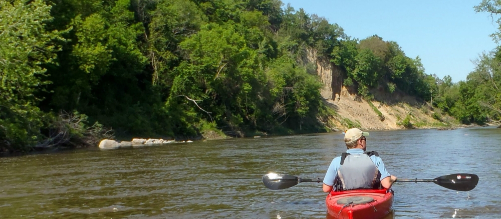
Located in south-central Minnesota, the Le Sueur River flows 111 miles through a gently rolling landscape, most of it farmland, until it cuts down through high bluffs to the Blue Earth River. The Le Sueur, which is named for a French explorer, starts in Freeborn County, flowing north and west through parts of Waseca and Blue Earth counties. It passes through the city of St. Clair, which is near the regional hub of Mankato. Tributaries from Steele and Faribault counties also flow into the Le Sueur. A total of 711,838 acres drain to the Le Sueur, and an extensive ditch-and-tile system facilitates movement of water throughout the watershed. Several streams (a total of 1,201 miles) flow to the Le Sueur, with its major tributaries being the Cobb and Maple rivers.
Lakes and wetlands currently comprise 3% of the watershed. Many of the lakes are shallow and provide wildlife habitat while others are deeper and popular for recreation. The vast majority of the watershed is planted with crops such as corn and soybeans or used for livestock production.
Water monitoring shows some stream segments had modest improvements in water quality in the Le Sueur River over the past 10 years, though several sections of the river and its streams continue to suffer from many problems, including turbidity, low dissolved oxygen, and excess nutrients. The Le Sueur watershed is a major source of sediment and nutrients to the Minnesota River.
Monitoring and assessment
- (Blue Earth, Waseca, Faribault, Steele, Freeborn Counties)
Strategy development for restoration and protection
- (EPA approval 5/23/2025)
- (MPCA approval 4/29/2025)
- (MPCA approval 8/20/2015)
- (EPA approval 3/15/2016)
Lura Lake and Blue Earth River TMDLs
- (EPA approval 2/19/2014)
- (EPA approval 6/7/2007)
- (MPCA approval 11/14/07)
More information
- Minnesota State University Mankato-Water Resource Center
- Blue Earth County Soil and Water Conservation District
- Faribault County Soil and Water Conservation District
- Freeborn County Soil and Water Conservation District
- Freeborn County Environmental Services
- Waseca Soil and Water Conservation District
- Greater Blue Earth River Basin Alliance
- Le Sueur River Watershed Network