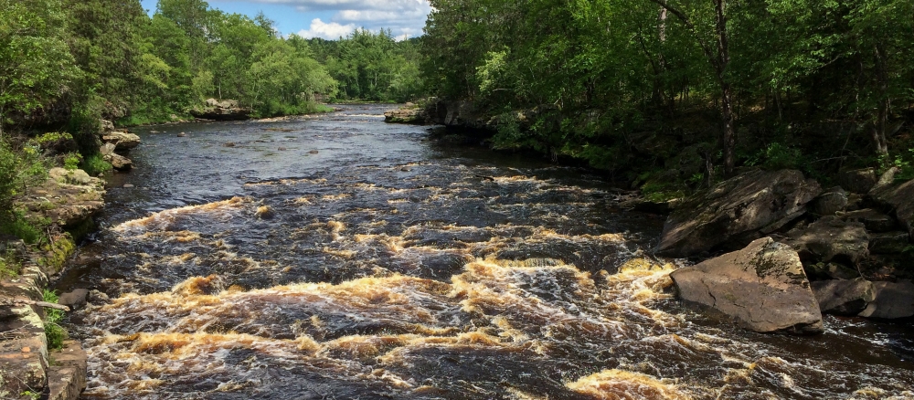
The Kettle River Watershed covers 672,235 acres in northeast Minnesota and lies within Northern Lakes and Forests ecoregion, covering parts of Aitkin, Carlton, Kanabec, and Pine counties. The headwaters for the Kettle River begin in Carlton County, and the river flows 104 miles south to its confluence with the St. Croix River south of Hinckley.
This watershed includes dozens of lakes and wetlands and a few small streams that flow into the St. Croix River, which borders the watershed on the southeast. There are 23 lakes of 100 acres or greater in the Kettle River watershed. Major cities include Hinckley, Kettle River, Barnum, Willow River, Moose Lake, Sturgeon Lake, Sandstone, and Finlayson. The watershed also includes part of the Fond du Lac Tribal lands.
Land uses are predominately forest (55%), agriculture (20%), and wetlands (19%). Current impairments are mercury (lakes and Kettle River), bacteria, and biota.
Monitoring and assessment
Strategy development for restoration and protection
- (EPA approval 4/28/2021)
- (MPCA approval 3/25/2021)