The Crow Wing River Watershed is located in north-central Minnesota and covers approximately 1,946 square miles within the counties of Becker, Cass, Clearwater, Crow Wing, Hubbard, Morrison, Otter Tail, Todd, and Wadena. The watershed is located in the Upper Mississippi River Basin and is comprised of two ecoregions: the Northern Lakes and Forests, and North Central Hardwood Forests.
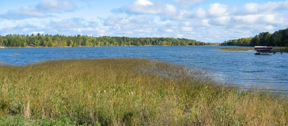
Land use within the watershed is primarily forested/shrub lands, followed by agricultural lands, wetlands, open water, and developed lands. Municipalities located within the Crow Wing River Watershed include Akeley, Menahga, Nevis, Nisswa, Osage, Park Rapids, Pequot Lakes, Ponsford, and Staples. There are a large number of pristine, high-value recreational lakes in the Crow Wing River Watershed and several cold water streams that support trout are located in the watershed.
The watershed includes over 627 lakes 10 acres in size or greater as well as 1,653 stream and river miles. The Crow Wing River flows into the Mississippi River at Crow Wing State Park. Land use is mostly forested and agriculture.
There are a large number of pristine, high-value recreational lakes in the Crow Wing River Watershed and several cold water streams that support trout are located in the watershed. A handful of lakes and a few tributaries do not meet water quality standards for beneficial uses such as aquatic recreation, drinking, and swimming. The main lake pollutant is phosphorus, causing algae blooms in summer months.
Monitoring and assessment
Strategy development for restoration and protection
- (MPCA approval 12/5/2023)
- (EPA approval 11/19/2014)
- (MPCA approval 2/2/2015)
Protection strategies are also being developed to keep the remaining waterbodies from degrading. SWCDs and other local partners within the 8 counties are working together with the MPCA, as well as leading their own water quality projects in the watershed.
- (EPA approval 10/26/2010)