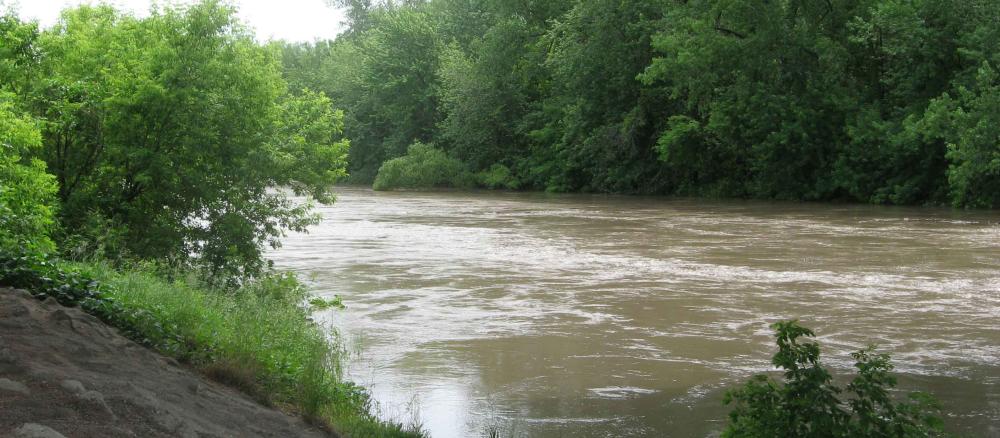
The Cottonwood River is located in southwestern Minnesota in the counties of Brown, Cottonwood, Lyon, Murray, and Redwood. It begins near Balaton in southwest Lyon County and flows about 150 miles east to the Minnesota River near New Ulm. The watershed area is approximately 840,000 acres or 1,313 square miles.
The Cottonwood River watershed is one of the 13 major watersheds in the Minnesota River Basin. The entire Cottonwood River watershed has about 88% (739,000 acres) of the land in cultivation, 6% of the land in grassland, 1% is wetlands or water, and just under 3% is still wooded. The remainder of the land is farmsteads, gravel pits, rural development, and other land uses. Counties in the watershed include Lyon, Murray, Redwood, Cottonwood, and Brown.
The topography is that of a rolling upland area. Altitudes descend from west to east with the Coteau des Prairies serving as a watershed divide. Natural drainage patterns in the area were established by valleys formed from glacial meltwaters. End moraines, which were formed during the recession of the last glacier, are the most prominent features. There are 15 incorporated communities in this watershed, including Tracy, Sleepy Eye, Springfield, and New Ulm, and there are seven unincorporated communities.
Monitoring and assessment
Strategy development for restoration and protection
-
(EPA approval 1/9/2023)
-
(MPCA approval 12/10/2022)
-
(EPA approval 1/8/2014)