Kettle River
The Kettle River Watershed covers 672,235 acres in northeast Minnesota, covering parts of Aitkin, Carlton, Kanabec, and Pine counties.
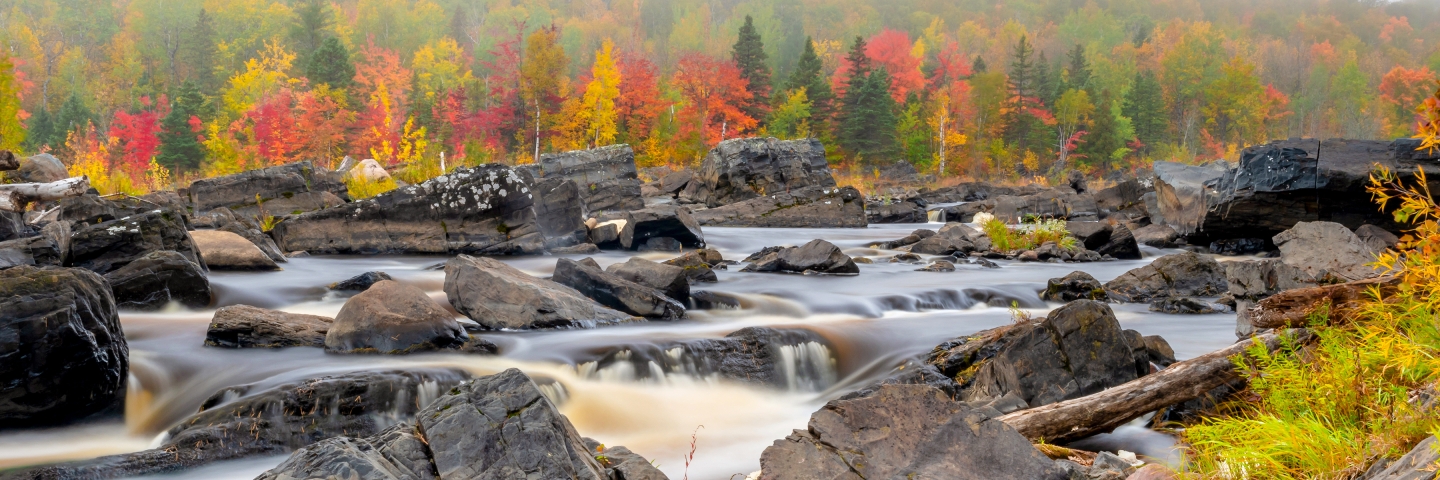
The Kettle River Watershed covers 672,235 acres in northeast Minnesota, covering parts of Aitkin, Carlton, Kanabec, and Pine counties.
The Lower St. Croix Watershed covers 585,735 acres and is located in northwest Wisconsin and east-central Minnesota.
The Snake River Watershed is located north of the Twin Cities in the St. Croix River Basin and encompasses 1,006 square miles in five counties: Aitkin, Kanabec, Mille Lacs, Pine, and Isanti.
Streams of the Upper St. Croix Watershed are among the most biologically intact, healthy, and resilient of watersheds in Minnesota.