Located in the north central region of Minnesota, the Mississippi River - Grand Rapids Watershed drains more than 1.3 million acres of land from the Laurentian Continental divide to the Mississippi River near the city of Palisade. It crosses through the counties of Aitkin, Cass, Carlton, Itasca, and St. Louis and sustains many valuable resources throughout its expanse. It is home to the communities of Grand Rapids (pop. 10,866), McGregor (390), and Remer (370), among many others.
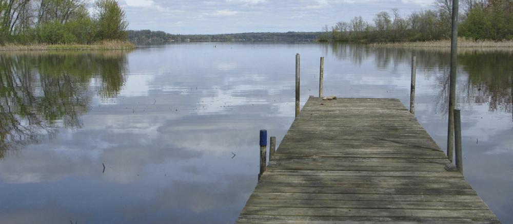
The watershed maintains around 2,000 miles of streams and rivers and 625 lakes larger than 10 acres. Of these lakes, 79 produce wild rice, a unique resource that Minnesota produces more of than any other state, and 48 are cold water fisheries, beneficial to supporting healthy trout populations in the watershed. These beautiful lakes make the watershed an attractive destination for recreation. Forest land makes up most of the watershed (56%), providing many excellent ecosystem services such as water filtration and habitat for diverse species.
Monitoring and assessment
Strategy development for restoration and protection
- (MPCA approval 9/18/2019)
- (EPA approval 10/1/2019)
- EPA approval 5/6/2025
- (EPA approval 6/14/2011)
- (MPCA approval 5/22/2013)
- (EPA approval 12/15/2020)
- Recorded Webex: Upper Mississippi River TSS TMDL - Q&A meeting (Aug. 18, 2020)