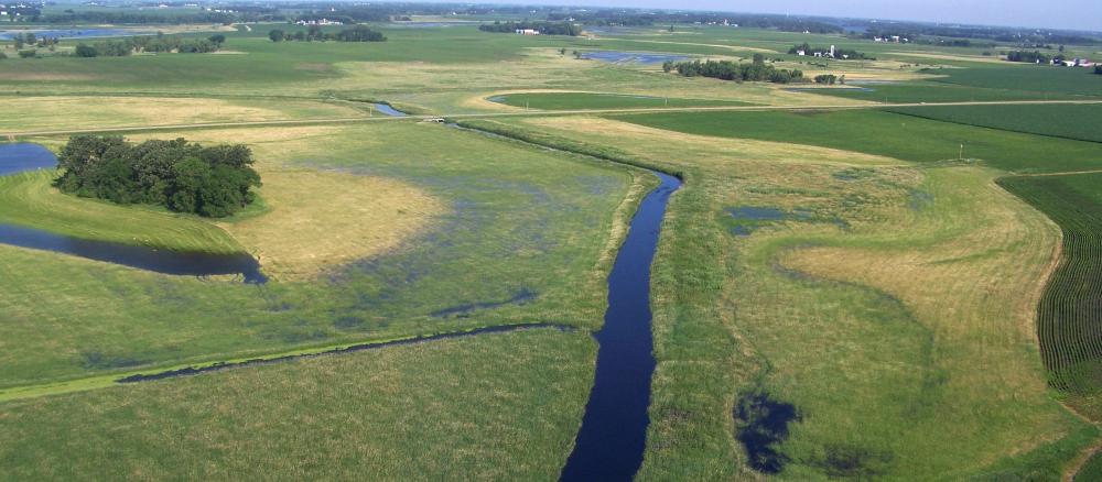
The Lower Minnesota River Watershed includes the lowest reach of the Minnesota River and flows into the Mississippi at Fort Snelling. The second-largest watershed in the Minnesota River Basin, it covers 1,760 square miles, divided by the Minnesota River itself. Major tributaries in the rural part of the watershed include the Rush River and High Island Creek. Tributaries in the urban area include Bevens Creek, Carver Creek, Sand Creek, Nine Mile Creek, and the Credit River, among others. A relatively flat section of river, the 50-mile stretch of the Minnesota contained within this watershed drops approximately 90 feet in elevation from the small town of Ottawa in Le Sueur County, to its confluence with the Mississippi River in St. Paul.
The western part of the watershed is rural and the middle and eastern portions are urban. Most of the population in the Minnesota River Basin lives in this watershed, including the Twin Cities metropolitan area. The watershed includes Sibley and Scott counties, and portions of Le Sueur, Carver, Hennepin, Dakota, Rice, Nicollet, Renville and McLeod counties.
Water quality concerns include levels of sediment, bacteria, nutrients and chloride, and their impacts to fish and other aquatic life.
Monitoring and assessment
Intensive water monitoring was completed in 2015; updated monitoring efforts will start in 2025.
Strategy development for restoration and protection
- (MPCA approval 2/10/2020)
- [EPA approval of TMDL (Parts I, II, III) 3/13/2020]
See all approved TMDLs in the Lower Minnesota River Watershed and related documents:
More information
- Black Dog Water Management Organization
- Carver County Water Management Organization
- Dakota County Soil and Water Conservation District
- Eagan-Inver Grove Heights Water Management Organization
- High Island Creek Watershed District
- Le Sueur County Soil and Water Conservation District
- Lower Minnesota River Watershed District
- Nicollet County Soil and Water Conservation District
- Nine Mile Creek Watershed District
- Prior Lake-Spring Lake Watershed District
- Renville County Soil and Water Conservation District
- Rice County Soil and Water Conservation District
- Richfield-Bloomington Watershed District
- Riley-Purgatory-Bluff Creek Watershed District
- Scott County Water Management Organization
- Scott County Soil and Water Conservation District
- Sibley County Soil and Water Conservation District