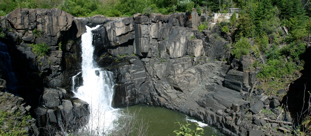
The Lake Superior - North Watershed covers over 1 million acres in the Northern Lakes and Forest ecoregion. Soils and subsurface geology are dominated by bedrock, glacial till complexes and unconsolidated glacial lake deposits of sand, gravels, clay and silt. Bedrock is complex in its evolution and contributes to the spectacular mountains and ridges that slope toward Lake Superior. Numerous streams flow through the bedrock cracks, forming waterfalls, cascades and rapids. Wetlands and lakes are found throughout the watershed. Developed areas include the communities of Finland, Schroeder, Tofte, Lutsen, Grand Marais, Hovland and Grand Portage. Significant development is also located along Lake Superior’s shoreline.
Land use in this watershed is a mix of smaller towns and commercial, resort and rural residential. Significant development is also located along Lake Superior’s shoreline. Tourism and forest products are significant components of land use activity. Some commercial/industrial uses, such as marinas, shipping ports and taconite processing support, depend upon water resources.
Several state parks are within the watershed, including Temperance, Cascade and Judge CR Magney. A large section of the southernmost Boundary Waters Canoe Area Wilderness is also within the watershed.
The watershed is a source of exceptional water quality in many areas. Some streams do not meet water quality standards for beneficial uses such as aquatic recreation, drinking and swimming due to a turbidity impairment. In this watershed. Turbidity is associated with suspended sediment. It is likely that after further monitoring of streams and tributaries, some will not meet the current turbidity standard.
Continued development pressures will add to the pollutant problems of some streams. The lower reaches of the Poplar River and Flute Reed River are two examples of stream areas experiencing recent and continued significant growth in the watershed area near the stream shoreline.
Monitoring and assessment
Strategy development for restoration and protection
- (MPCA approval 8/9/2018)
Flute Reed and Poplar rivers TMDLs
- (EPA approval 9/13/2018)
- (EPA approval 12/11/2013)
- (MPCA approval 2/6/2014)